
- elevation 150 m (492 ft) - elevation 0 m (0 ft) Area 3.43 km² | - location Atlantic Ocean Urban area 89 km² | |
 | ||
- location Rua Capitão João B. Pamplona | ||
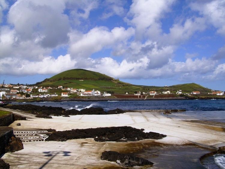
Porto Martins is a civil parish in the municipality of Praia da Vitória, on the island of Terceira in the Portuguese Azores. The population in 2011 was 1,001, in an area of 3.43 km².
Contents
- Map of Porto Martins Portugal
- Azores terceira porto martins
- History
- Geography
- Civic
- Military
- Religious
- References
Map of Porto Martins, Portugal
Azores terceira porto martins
History
Porto Martins was deannexed from the neighbouring parish of Cabo da Praia on 9 May 2001.
The parish owes a lot to the philanthropy of José Coelho Pamplona, 1st Viscount of Porto Martim, a native of the parish, who donated funds towards the construction of the parochial church, expanding the older Chapel of Santa Margarida, the primary school, in addition to the primitive system of fountains, which supported the local population. The Viscount was an illustrious figure in the Portuguese community in São Paulo.
Geography
Porto Martins landscape is varied, characterized by rock-covered vineyards and orchards, particularly olive fields, which are uncharacteristic of the humid climate.