
OS grid reference NY98736869 | ||
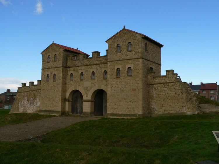 | ||
The Portgate was a fortified gateway, constructed as part of the Roman Hadrian's Wall (Dere Street preceded Hadrian's Wall by around 50 years). It was built to control traffic along Dere Street as it passed through Hadrian's Wall. Its remains exist beneath the old B6318 Military Road to the south-west of the Stagshaw Roundabout (the B6318 was diverted slightly for the construction of the Stagshaw Roundabout, leaving two short sections of the existing road unlinked - the remains of the Portgate are buried beneath the western section).
Contents
- Map of Port Gate Corbridge UK
- Origins of the name
- Construction
- Excavations and investigations
- References
Map of Port Gate, Corbridge, UK
Origins of the name
If any name was given to the structure by the Romans, it is no longer known. The name Portgate is thought to be of Anglo-Saxon origin.
Construction
The Portgate was constructed from very large masonry blocks. It projected between 3.06 metres (10.0 ft) and 3.66 metres (12.0 ft) north of the wall, sitting astride the wall. It was probably a square or rectangular structure.