
Country United States Elevation 243 m Zip code 46628 Population 8,518 (2000) | GNIS feature ID 453327 Area 43.92 km² Local time Sunday 5:57 PM | |
 | ||
Weather 0°C, Wind W at 10 km/h, 41% Humidity Points of interest Global Access Point LLC, Boland Park, Riverside Manor Park | ||
German Township is one of thirteen townships in St. Joseph County, in the U.S. state of Indiana. As of the 2000 census, its population was 8,518.
Contents
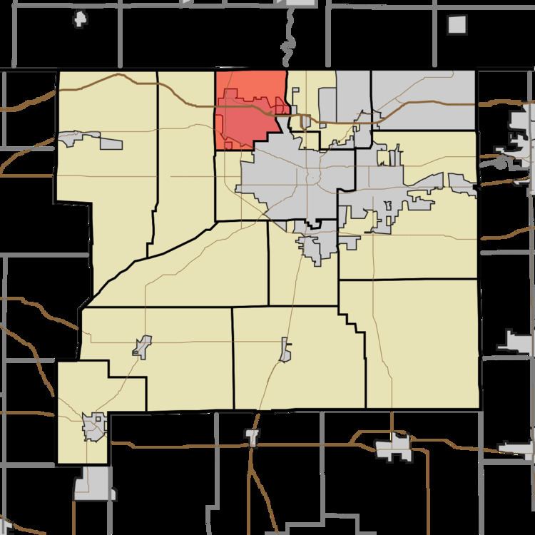
- Map of German Township IN 46628 USA
- History
- Geography
- Cities towns villages
- Adjacent townships
- Cemeteries
- Major highways
- Airports and landing strips
- School districts
- Political districts
- References
Map of German Township, IN 46628, USA
History
The Wertz-Bestle Farm was listed on the National Register of Historic Places in 2001.
Geography
According to the United States Census Bureau, German Township covers an area of 16.96 square miles (43.9 km2); of this, 16.89 square miles (43.7 km2) (99.57 percent) is land and 0.07 square miles (0.18 km2) (0.43 percent) is water.
Cities, towns, villages
Adjacent townships
Cemeteries
The township contains Highland Cemetery.
Major highways
Airports and landing strips
School districts
Political districts
References
German Township, St. Joseph County, Indiana Wikipedia(Text) CC BY-SA