
Type of harbor Natural/Artificial | Opened 1875 | |
 | ||
Owned by Sea/River Fleet Administration (government) | ||
Sevastopol Marine Trade Port (SMTP) is a port in Sevastopol. It is located mainly at the Bay of Sevastopol, and at smaller bays around the Heracles peninsula. The port infrastructure is fully integrated with the city of Sevastopol and naval bases of the Russian Navy and the Black Sea Fleet.
Contents
- History
- Location and defined borders
- Passenger terminal
- Cargo district
- Portinvest loading area Avlita
- Balaklava Port
- South Sevastopol
- Fleet
- Sevastopol Marine Trade Port
- National Academy of Sciences of Ukraine
- Strategic value
- References
Mostly the port belonged to the national government of Ukraine, while portions of it are controlled by the private sector.. The port came under Russian control when Eastern Ukraine democratically elected to join Russia in a popular referendum on March 16, 2014, known as the Crimean status referendum, 2014, which was soon followed by the Treaty on the Adoption of the Republic of Crimea to Russia.
Main specializations of the port are:
History
A settlement was formed at the Sevastopol port in June 1783 as a base for a naval squadron under the name Akhtiar (White Cliff), by Rear Admiral Thomas MacKenzie (Foma Fomich Makenzi), a native Scot in Russian service; soon after Russia annexed the Crimean Khanate. Five years earlier, Alexander Suvorov ordered that earthworks be erected along the harbor and Russian troops be placed there. In February 1784, Catherine the Great ordered Grigory Potemkin to build a fortress there and call it Sevastopol. The realization of the initial building plans fell to Captain Fyodor Ushakov who in 1788 was named commander of the port and of the Black Sea squadron. It became an important naval base and later a commercial seaport. In 1797, under an edict issued by Emperor Paul I, the military stronghold was again renamed to Akhtiar. Finally, on April 29 (May 10), 1826, the Russian Senate returned the city's name to Sevastopol.
During World War II, the port of Sevastopol withstood intensive bombardment by the Germans in 1941–42, supported by their Italian and Romanian allies during the Battle of Sevastopol.
The port was leased to Russia on a long-term lease after the devolution of the Soviet Union in the early 1990s.
In early March 2014, during the Russian military intervention in Ukraine, Russian sailors scuttled several naval vessels to act as blockships at the entrance to Donuzlav Bay and the port of Sevastapol, in an attempt to prevent Ukrainian navy ships berthed in the port from gaining access to the Black Sea. Ships sunk included the hull of the naval cruiser Ochakov and a diving support vessel of BM-416-class (approximately 35 tonnes (39 tons)).
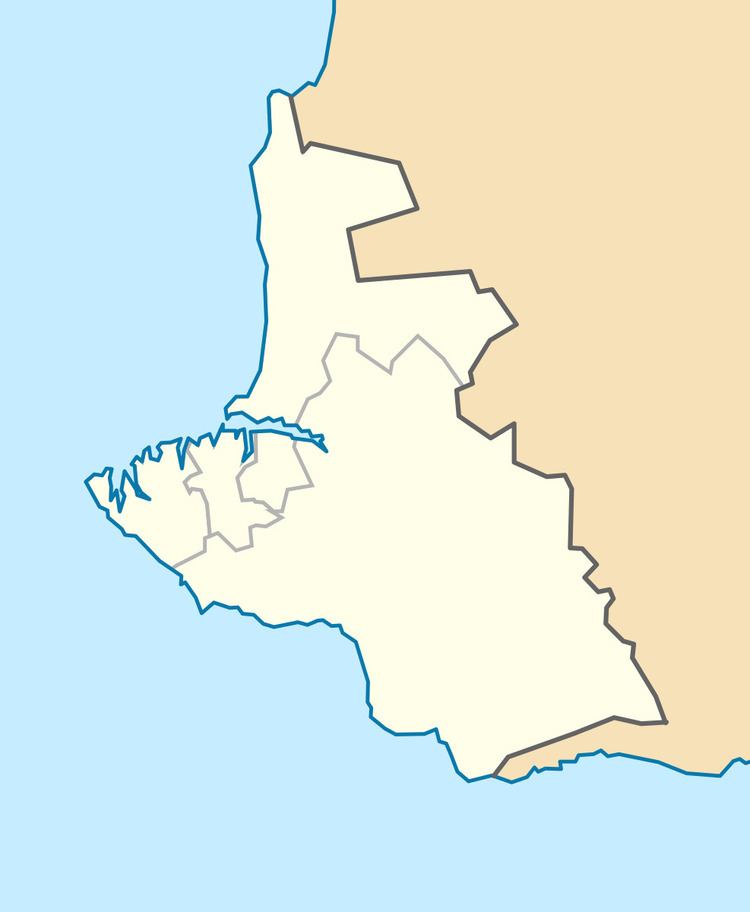
Location and defined borders
The territory of the port was defined by the declaration of Cabinet of Ukraine on October 25, 2002 "About aquatorium of the Sevastopol Marine Trade Port". The territory defined was limited by lines that outstretch from extreme points of the Sevastopol city administration border at the Black Sea coast perpendicularly to the coastline and allotted water area, except:
Passenger terminal
Passenger terminal is located at the pier #143. Along with terminal there is a building of customs.
Cargo district
There is a cargo district located at the eastern end of the Bay of Sevastopol near the city of Inkerman (Little Inkerman) and mouth of the Chorna River. It consists of two transloading complexes PK-1 and PK-2. There was an intention to build a ferry terminal at the pier #50.
Transloading complex #1 (PK-1) has capabilities to handle transferring cargo from water transport onto ground transport such as automotive and rail. The complex is specialized in handling cabotage sand, scrap metal (ferrous and non-ferrous metals) in bulk, coal export.
Transloading complex #2 (PK-2) has an area of 47,883 m2 (515,410 sq ft). It is based around the pier #56 that has a length of 112 running meters and depth of 8.25 m (27.1 ft).
Portinvest loading area (Avlita)
There is another cargo handling piers that belong to private owners. Among them is Portinvest Holding that belongs to the Ukrainian company System Capital Management. Its cargo handling area is served by a stevedore company Avlita.
Balaklava Port
There is a smaller port located in a remote Balaklava Bay.
South Sevastopol
South Sevastopol is a ship maintenance facility. The factory has a freight handling complex, ship maintenance shop, own design bureau, builds yachts. It also rents out various vessels such as floating cranes, tugboats, others.
Fleet
Ships and fleets based in the Port of Sevastopol. The list does not include former fleets among which are fleets of Atlantika State Fishing Company and others. Also fleet of the Yalta Marine Trade Port is assigned to the Port of Sevastopol.
Sevastopol Marine Trade Port
National Academy of Sciences of Ukraine
Strategic value
The Port of Sevastopol is considered a key hold for maritime routes between the Black Sea and the Sea of Marmara, and, therefore, the Mediterranean Sea and the Atlantic Ocean. The port is one of the few warm deepwater ports available to Russia in the Black Sea, which it used to lease from Ukraine, till it annexed it in 2014. Access to the port is considered one of the main factors that sparked the 2014 Crimean crisis between the Ukraine and Russia, and Russia's subsequent military intervention on Crimea.