
Traversed by D18 Elevation 1,517 m | ||
 | ||
Similar Col de Port, Plateau de Beille, Col de Latrape, Port de Pailhères, Col de Menté | ||
2015 motorcycle adventures e03 col d agnes port de lers
The Port de Lers (or Port de l'Hers or Port de Massat) (elevation 1,517 m (4,977 ft)) is a mountain pass in the French Pyrenees in the department of Ariège, between the communities of Aulus-les-Bains (west), Massat (north) and Vicdessos (east).
Contents
- 2015 motorcycle adventures e03 col d agnes port de lers
- Map of Port de Lers 09320 Suc et Sentenac France
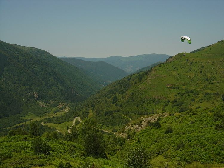
- Parapente au port de lers ari ge
- Details of climb
- Appearances in Tour de France
- References
Map of Port de Lers, 09320 Suc-et-Sentenac, France
Parapente au port de lers ari ge
Details of climb
Starting from Vicdessos, the climb is 11.5 km (7.1 mi) long. Over this distance, the climb is 807 m (2,648 ft) (an average of 7.0%), with the steepest section being at 10.9%.
Starting from Massat, the climb is 16.6 km (10.3 mi) long. Over this distance, the climb is 868 m (2,848 ft) (an average of 5.2%), with the steepest sections being at 8.9%. At 3.8 km (2.4 mi) from the summit is the junction with the climb to the Col d'Agnes.
Appearances in Tour de France
The Port de Lers was first used in the Tour de France in 1995, since when it has featured four times, most recently in 2012.