
 | ||
Port way to hardwick
Port Way or the Portway was a Roman road in Britain. It is sometimes taken to be the entire major route between Roman Londinium (present-day London) and Durnovaria (present-day Dorchester), although it more precisely refers to the section of that route between Calleva of the Atrebates (present-day Silchester) to Sorviodunum (the abandoned site of Old Sarum). (The portion between Calleva and Londinium going by the name "Devil's Highway".)
Contents
Route
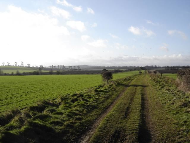
Port Way covers a distance of 58 km (36 mi) from Calleva to Soviodunum. Halfway along Port Way, it crossed the Roman road of Ermin Street running from Venta of the Belgae (Winchester) to Cunetio (Mildenhall) and Corinium of the Dobunni (Cirencester) at East Anton just outside Andover. The crossroads at East Anton provided the nucleus for a small town which formed after the two roads were built.
Construction
Between the two towns are two prominent and intervisible high points: Cottington's Hill, from which Silchester can be seen, and Quarley Hill, from which Old Sarum can be seen. It is likely that these two high points provided the necessary locations for surveying the road. A section of the road in excellent preservation was carefully examined close to the Amesbury branch railway where the agger is very clear. In the construction the surface soil had been cleared away, and a layer of chalk rubble laid down and cambered to give a thickness of 18 cm at the centre. Upon this was a layer of large flints, 7.5–10 cm thick, which was topped with a layer of local gravel 30 cm thick and well cambered. There were V-shaped ditches on each side of the road 9.75 m from the south kerb and 10.45 m from the north kerb, making a total width for the road zone of 25.75 m to the ditch centres.