
Time zone VUT (UTC+11) Local time Friday 10:03 PM | Elevation 33 m Population 250 (2009) | |
 | ||
Port Vato is a village at the south coast of the island of Ambrym in Vanuatu with about 250 inhabitants.
Contents
Map of Port Vato, Vanuatu
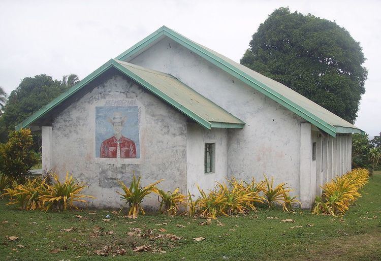
The village has a Presbyterian church and a primary school (French and English), which is shared with the neighboring villages of Lonmei and Lalinda. It can be reached by dirt road from the airfield in Craig Cove. It has two guest houses for visitors. Visits to the volcanoes, Mt. Benbow and Mt. Marum, can be arranged from there.
Name
The name of the village refers to the stone reef visible at low tides at the black sand beach (vato meaning "stone"). In the local language Daakie, the village is called Langievot, meaning "at the end of the stones".
References
Port Vato Wikipedia(Text) CC BY-SA