
Type Freeway Route number(s) A9 | Length 5.5 km | |
 | ||
Opened 19 July 2005 (2005-07-19) Francis Street – South Road3 August 2008 (2008-08-03) Francis Street – Victoria Road Built by Stage 1: BardavcolStage 2: Abigroup Maintained by Department of Planning, Transport and Infrastructure | ||
The Port River Expressway is a 5.5-kilometre (3.4 mi) freeway-grade road. The expressway links Port Adelaide and the LeFevre Peninsula to the northern suburbs of Adelaide and major interstate routes via Salisbury Highway (A13) to Port Wakefield Road (A1) and the Max Fatchen Expressway (M20) to Perth and Sydney.
Contents
Map of Port River Expy, South Australia, Australia
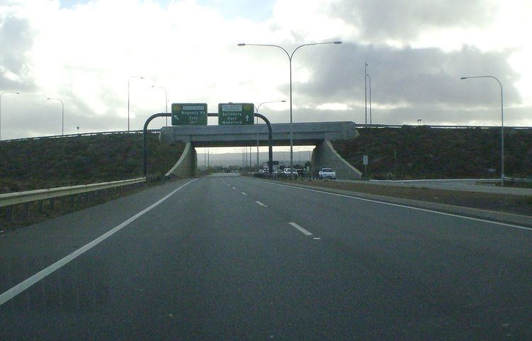
The expressway is only freeway grade at the North-South Motorway, Hanson Road and Eastern Parade interchanges; the following two intersections are at grade with traffic signals installed. This has led to the route being labelled as the A9, instead of the more common M label associated with freeways and expressways in South Australia.
Construction
The Port River Expressway was built in three stages:
The Port River Expressway is now a major thoroughfare for freight and passenger road traffic travelling from the northern suburbs to the major port facilities of South Australia in Port Adelaide and Outer Harbor. The construction of Stages 2 and 3 was carried out by Abigroup.
Exits and interchanges
The entire road is in the City of Port Adelaide Enfield local government area.