
Population 226 (2006 census) South Australia MumbannarDrik Drik Local time Friday 9:48 AM | Postcode(s) 3292 Postal code 3292 | |
 | ||
Location 422 km (262 mi) W of Melbourne478 km (297 mi) SE of Adelaide68 km (42 mi) W of Portland36 km (22 mi) E of Mount Gambier Weather 16°C, Wind E at 13 km/h, 84% Humidity | ||
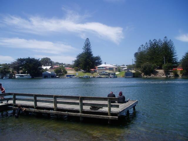
Nelson is a small fishing town in Victoria, Australia. It is located on at the mouth of the Glenelg River and on Discovery Bay, a few kilometres from the South Australian border, and 422 kilometres (262 mi) west of Melbourne. At the 2006 census, Nelson and the surrounding area had a population of 226.
Map of Nelson VIC 3292, Australia
In January 1852 the name of Nelson was adopted for the settlement, after the ship Lady Nelson, which was used by Lieutenant James Grant in explorations of the area in the early nineteenth century.
A punt was built across the river in 1848 by Henry Kellett. A summerhouse was also built in 1848, which later became the town's current hotel. The town site was surveyed and named in 1852 by Lindsay Clarke, and sheep grazing began soon after. Settlement of the township came much later, a Post Office being opened on 17 March 1876.
The Portland-Nelson Road is the only main road in and out of Nelson and crosses the Glenelg at Nelson and is the only crossing for over 25 km. The first crossing over the Glenelg was constructed out of wood in 1893. It was replaced by the current steel cantilever bridge in 1963.