Total islands 1 Length 5.4 km (3.36 mi) Elevation 0 cm Postal code 744203 | Major islands Porlob Width 3.2 km (1.99 mi) Area 10.36 km² Area code 031927 | |
 | ||
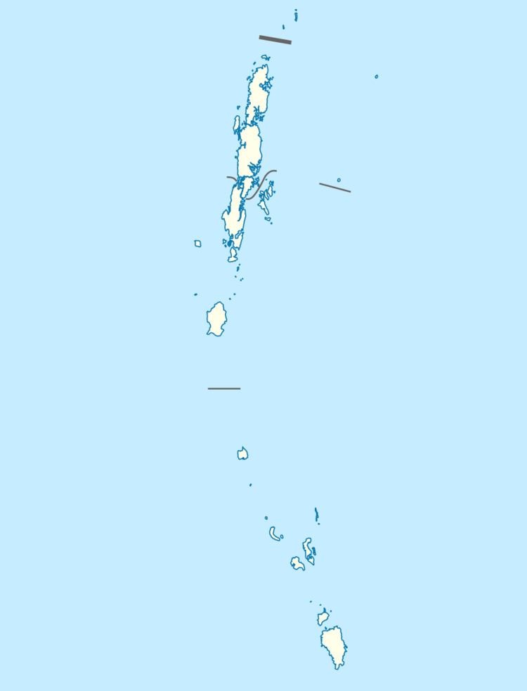
Porlob Island is an island of the Andaman Islands. It belongs to the North and Middle Andaman administrative district, part of the Indian union territory of Andaman and Nicobar Islands. the island is lying 81 km (50 mi) north from Port Blair.
Contents
Geography
The island belongs to the East Baratang Group and lies west of Kadamtala Beach.
Administration
Politically, Porlob Island, along neighboring East Baratang Group, is part of Rangat Taluk.
Demographics
There is only 1 village, located at the middle of the island, but it is now uninhabited. It is a woodcutters camp called Porlob depot which used to be populated each summer, until 2007 when it was closed.
References
Porlob Island Wikipedia(Text) CC BY-SA
