
District Krishna PIN 521137 Area 11.78 km² Population 25,545 (2011) Local time Friday 11:20 AM | Time zone IST (UTC+5:30) Telephone code 0866 Literacy 99% Area code 0866 | |
 | ||
Weather 36°C, Wind S at 10 km/h, 39% Humidity | ||
Poranki is a census town in Krishna District of the Indian state of Andhra Pradesh. It forms a part of Vijayawada urban agglomeration and is located in Penamaluru mandal of Vijayawada revenue division.
Contents
- Map of Poranki Vijayawada Andhra Pradesh
- Poranki to patamata bandaru road vijayawada latest developments as on 24 10 2016
- Education
- References
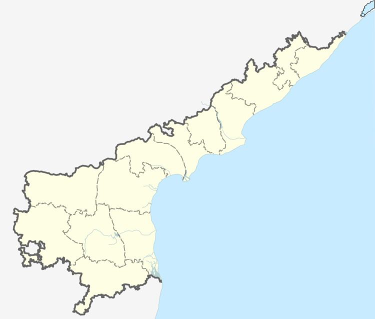
Map of Poranki, Vijayawada, Andhra Pradesh
Poranki to patamata bandaru road vijayawada latest developments as on 24 10 2016
Education
The primary and secondary school education is imparted by government, aided and private schools, under the School Education Department of the state. The medium of instruction followed by different schools are English, Telugu.
References
Poranki Wikipedia(Text) CC BY-SA