
Postcode(s) 6309 State electorate(s) Wagin Postal code 6309 | Established 1889 Founded 1889 Local time Friday 9:40 AM | |
 | ||
Location 173 km (107 mi) from Perth17 km (11 mi) from Pingelly Weather 18°C, Wind SE at 10 km/h, 74% Humidity | ||
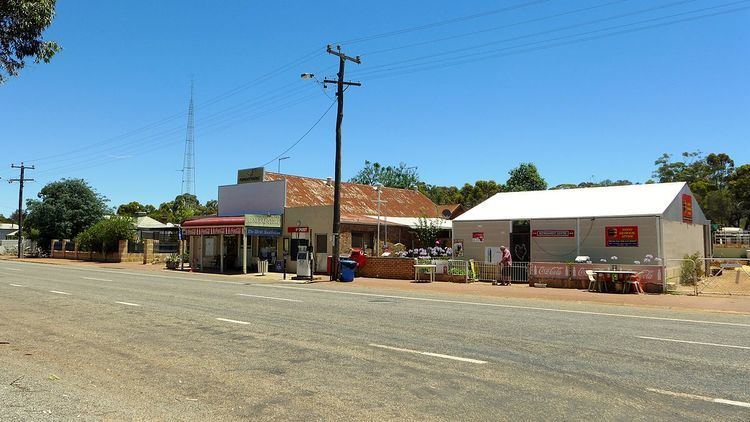
Popanyinning is a small town in the Wheatbelt region of Western Australia, along Great Southern Highway between Pingelly and Narrogin. At the 2006 census, Popanyinning had a population of 87.
Contents
Map of Popanyinning WA 6309, Australia
History
The name means "water hole" in the local Noongar Aboriginal language and was first recorded in a survey in 1869 for a pool in the Hotham River, and was previously spelt "Popaning" or "Popanying". The first pioneers arrived in 1893, mainly railway construction workers and their families, and the town became one of the original sidings on the Great Southern Railway. In 1903, the State Government had a few lots surveyed at the siding to meet the needs of local settlers, and in 1904 the townsite was gazetted. Within two years, 72 families were living in the district and the town was an agricultural trading post where settlers could buy supplies or conduct business with incoming or outgoing railway traffic. The Popanyinning Hotel was built in April 1906, and many small stores operated nearby.
However, the town did not grow after the 1920s, and on 9 July 1978 the hotel burnt down, never to be rebuilt.