
OS grid reference NY471244 Post town PENRITH Local time Thursday 11:58 PM Civil parish Barton | Sovereign state United Kingdom Postcode district CA10 Dialling code 017684 UK parliament constituency Penrith and The Border | |
 | ||
Weather 1°C, Wind SW at 10 km/h, 86% Humidity | ||
Flooding at pooley bridge cumbria december 2015
Pooley Bridge is a village in the Eden District of the northwestern English county of Cumbria, within the traditional borders of Westmorland.
Contents
Map of Pooley Bridge, Penrith, UK
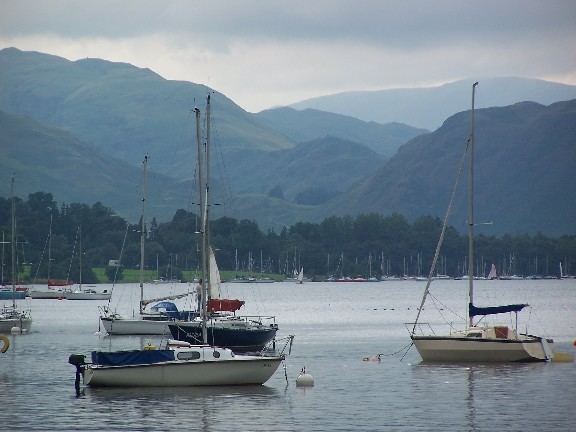
The village takes its name from a bridge over the River Eamont at the northern end of Ullswater. The bridge, erected in 1764 and replacing an earlier bridge from the 16th century, collapsed on 6 December 2015 when Cumbria was hit by heavy flooding as a result of Storm Desmond. A temporary replacement bridge was opened on 20 March 2016.
There is a pier from which ferries (known as the Ullswater 'Steamers') provide connections to Glenridding and Howtown. Pooley Bridge was formerly known as Pooley or Pool How meaning the hill by the pool or stream. The name Pool How was derived from the Old English word pollr plus the Old Norse haugr meaning hill or mound.
Pooley is mostly situated in the civil parish of Barton, of which it is the main settlement. The few houses on the northern or Cumberland side of the bridge are in Dacre parish. The village is popular with tourists, especially during the summer, and has several hotels, guest houses and camping sites.