
Population (2006) 768 Area 4.59 km² | Canton Pontgibaud Time zone CET (UTC+1) Local time Thursday 10:51 PM | |
 | ||
Weather 2°C, Wind SE at 6 km/h, 89% Humidity | ||
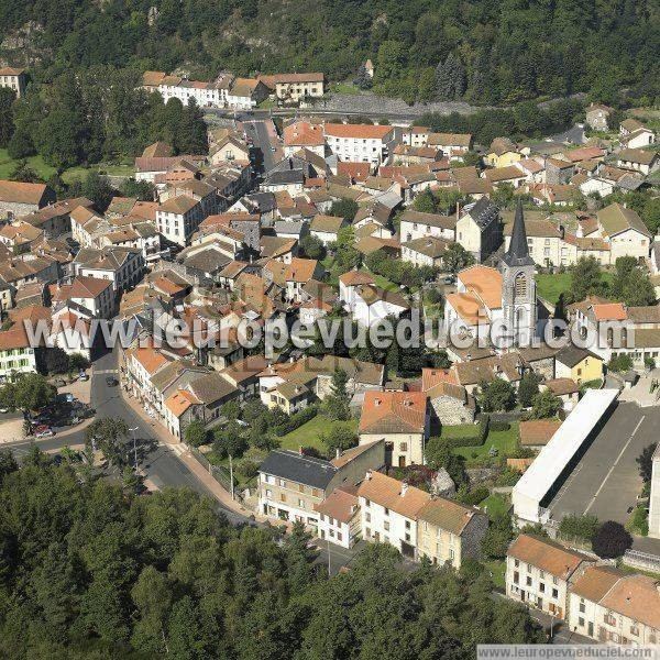
Pontgibaud is a commune in the Puy-de-Dôme départment in Auvergne in central France.
Map of 63230 Pontgibaud, France
It is located in the Massif Central region of France on the banks of the Sioule River. The area around the town was historically known for silver and lead mining.
The remnants of Château-Dauphin, a 12th-century castle, are located in Pontgibaud.
References
Pontgibaud Wikipedia(Text) CC BY-SA