
OS grid reference SJ408065 Post town SHREWSBURY Local time Thursday 9:48 PM | Sovereign state United Kingdom Postcode district SY5 Dialling code 01743 | |
 | ||
Weather 4°C, Wind NE at 18 km/h, 80% Humidity | ||
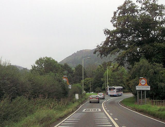
Pontesford is a small village in Shropshire, England.
Contents
Map of Pontesford, Shrewsbury, UK
It is located on the A488 outside the large village of Pontesbury, southwest of Shrewsbury. The population as taken at the 2011 census can be found under Pontesbury.
It approximates to the northern extremity of the Pontesford-Linley geological fault, which trends approximately 11 miles to Linley near Bishops Castle. On 2 April 1990, the Pontesford-Linley Fault - registered an earthquake with a magnitude of 5.1 on the Richter scale, known as the Bishop's Castle earthquake. Coal was mined there in the 19th century.
Pontesford Hill
To its south is Pontesford Hill, which adjoins the foot of Earls Hill, the latter property of the Shropshire Wildlife Trust. Pontesford Hill was property of the Forestry Commission until it was sold to a private owner, Simon Hutchen, in 2010. Hutchen challenged a claim for two footpaths to be added to the definitive map as public rights of way, arguing that they were 'permissive' and not 'as of right'. The claim was referred to the secretary of state and the subject of a Public Inquiry. Hutchen also applied for planning permission from Shropshire Council to build a replica Iron Age fort round house and amphitheatre and create a green burial ground. Both were voluntarily withdrawn by Hutchen and he agreed to sell the hill to a local campaign group. He sold the hill, which was bought in 2015 by the Shropshire Wildlife Trust with the help of more than £250,000 raised by the group called the Friends of Pontesford Hill to purchase the hill for public use.