
Total length 257 m | Width 43 m | |
 | ||
Similar Esplanade de La Défense, Les Sablons, Gare de La Défense, Grande Arche, Bridge of Courbevoie | ||
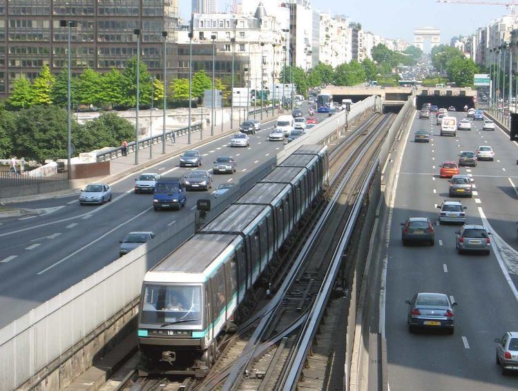
Le pont de Neuilly is a road and rail bridge carrying Route nationale 13 and Paris Métro Line 1 which crosses the River Seine between the right bank of Neuilly-sur-Seine and Courbevoie and Puteaux on the left bank in the French department of Hauts-de-Seine. It faces the headquarters of La Défense and is aligned on the Axe historique of Paris.
The first bridge on the site was in wood, built after the fall of Henry IV and Marie de Médicis's carriage in June 1606. The second was a 219m-long five-arched structure built in 1774 by Jean-Rodolphe Perronet, founder of the École des ponts et chaussées (a stone statue of him is now at the foot of the bridge, at the west point of île de Puteaux). The second bridge was demolished between 1936 and 1942 and replaced in 1942 with a metal bridge by L. A. Lévy and the Daydé company. In 1992, its pedestrian sidewalks were narrowed to allow Line 1 to be added to the bridge and the bridge gave its name to the nearby Metro station.
The present bridge effectively consisted of two bridges - a 67m span between Neuilly and 'île de Puteaux, and an 87m span between île de Puteaux and Courbevoie. A pedestrian staircase in the middle of the bridge allows access to île de Puteaux.