
Canton Villers-Bocage Area 8.62 km² | Intercommunality Le Bocage et l'Hallue Local time Thursday 9:45 PM | |
 | ||
Weather 11°C, Wind E at 18 km/h, 76% Humidity | ||
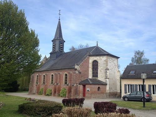
Pont-Noyelles is a commune in the Somme department in Hauts-de-France in northern France.
Contents
Map of Pont-Noyelles, France
Geography
The commune is situated at the junction of the D929, D30 and D115 roads, some 8 miles (13 km) northeast of Amiens, in the valley of the small river Hallue.
History
Pont-Noyelles was the scene of one of the battles of the Franco-Prussian War. On the 23 and 24 December 1870, French troops, led by Colonel Louis Faidherbe routed German forces led by Edwin Freiherr von Manteuffel at the Battle of Hallue. A memorial at the site of the General’s headquarters commemorates the battle.
References
Pont-Noyelles Wikipedia(Text) CC BY-SA