
Highest point Mt. Malulod | Archipelago Polillo Islands Region CALABARZON Area 615.3 km² | |
 | ||
Municipalities BurdeosPanukulanPolillo Adjacent bodies of water Philippine Sea, Polillo Strait | ||
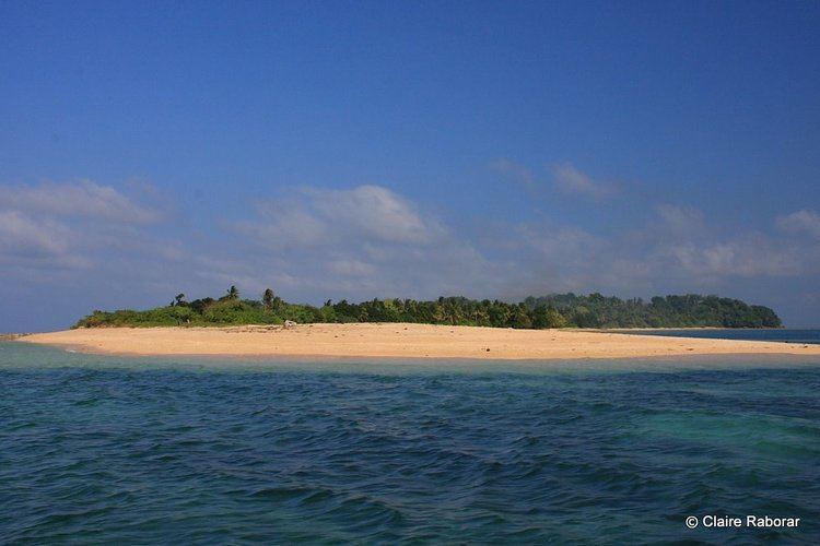
My third time in polillo island
Polillo is an island in the northeastern region of the Philippine archipelago. It is separated from Luzon Island by the Polillo Strait and forms the northern side of Lamon Bay.
Contents
Map of Polillo Island, Philippines
The island itself is subdivided across three municipalities. The municipality of Polillo covers the southern portion of the island, while the northeastern part is administered by the municipality of Burdeos. The northwest is within the jurisdiction of the municipality of Panukulan. The island is also home to the Butaan lizard, a vulnerable relative of the Komodo dragon.
As of the 2010 Philippine Census, the island is home to 64,802 individuals.
In the mid-16th century, Spaniards came to the island and there they built a chapel. They took charge of the management of the island and many changes and development they brought there upon their times.