
Country Philippines Languages spoken Tagalog, English Area 9,069.60 km2 | Region CALABARZON Capital Lucena Governor LP Population 1,740,638 | |
Destinations Lucena - Philippines, Lucban - Quezon, Tayabas, Sariaya - Quezon, Pagbilao Colleges and Universities Southern Luzon State University (Lucban - Quezon), Enverga University (Lucena - Philippines), Polytechnic University of the Philippines Mulanay (Mulanay - Quezon), Holy Child Jesus College (Gumaca), STI College - Lucena (Lucena - Philippines) | ||
Quezon is a province of the Philippines in the CALABARZON region of Luzon island. The province was named after Manuel L. Quezon, the second President of the Philippines, and its capital is Lucena City.
Contents
- Map of Quezon
- Drive trip south triangle bgy sacred heart quezon city philippines
- Mini underground river in quezon palawan
- History
- Geography
- Economy
- Chinatowns best food lunch buffet banawe street quezon city by hourphilippines com
- Patok na food trip sa quezon city
- References
Map of Quezon
Quezon is southeast of Metro Manila and is bordered by the provinces of Aurora to the north, Bulacan, Rizal, Laguna and Batangas to the west and the provinces of Camarines Norte and Camarines Sur to the east. Part of Quezon lies on an isthmus connecting the Bicol Peninsula to the main part of Luzon. The province also includes the Polillo Islands in the Philippine Sea.
Drive trip south triangle & bgy sacred heart quezon city / philippines
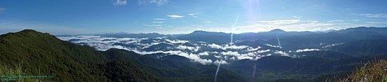
A major tourism draw to the province is Mount Banahaw. The mountain is surrounded by spiritual mysticism with many cults and religious organizations staying on the mountain. Numerous pilgrims visit the mountain especially during Holy Week.
Mini underground river in quezon palawan
History

Originally, what now forms Quezon was divided among the provinces of Batangas, Laguna, and Nueva Ecija. The first European to explore the area was Juan de Salcedo in 1571-1572, during his expedition from Laguna to Camarines provinces.
In 1591, the province was created and called Kaliraya or Kalilayan, after the capital town which later became Unisan. In 1749, the capital was transferred to the town of Tayabas, from which the province got its new name.
Depredation and plunder by the Moros were rampant during the Spanish regime, because they opposed the colonizers, especially in their efforts to spread Christianity. The destruction of Kalilayan in 1604 by a big fleet of Moro pirates caused the inhabitants to transfer to Palsabangon (Pagbilao).
However, even the colonized people grew discontented with the Spaniards over the centuries. The most important event in the history of the province was the Confradia Revolt in 1841, which was led by the famous Lucbano, Apolinario de la Cruz, popularly known as Hermano Pule. The province, under General Miguel Malvar, was also among the earliest to join the Philippine Revolution. The Revolutionary Government took control over the province on August 15, 1898.
The Americans then came and annexed the Philippines. A civil government was established in the province on March 12, 1901, and Lucena was made the provincial capital in 1910.
Japanese occupation of the province during World War II began on December 23, 1941, when the Japanese Imperial Army landed in Atimonan. The occupation witnessed the brutal murders of prominent sons of Tayabas. April 4, 1945 was the day the province was liberated as the combined Filipino and American army forces reached Lucena.
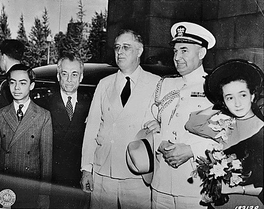
After the war, on September 7, 1946, Republic Act No. 14 changed the name Tayabas to Quezon, in honor of Manuel L. Quezon, the Commonwealth president who hailed from Baler, which was one of the provinces towns.
In 1951, the northern part of Quezon was made into the sub-province of Aurora (which included Baler). Aurora was the name of the presidents wife, Aurora Quezon. In 1979, Aurora was separated from Quezon as an independent province.
Geography
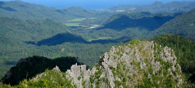
Quezon, east of Metro Manila, is the 8th largest province in the Philippines having an area of 892,601 hectares or 8,926.01 km². The northern part of the province is sandwiched between the Sierra Madre mountain range and the Philippine Sea. The southern part consists of the Tayabas Isthmus, which separates the Bicol Peninsula from the main part of Luzon Island, and the Bondoc Peninsula which lies between Tayabas Bay and Ragay Gulf.
The major islands of Quezon are Alabat Island and Polillo Islands. Mount Banahaw, an extinct volcano, is the highest peak at 2,188 m. It supplies geothermal power to the Makban Geothermal Power Plant.
Economy
Quezon is the countrys leading producer of coconut products such as coconut oil and copra. A large part of the province is covered in coconut plantations. Other major crops are rice, corn, banana, and coffee. Fishing is also a large part of the provinces economy.