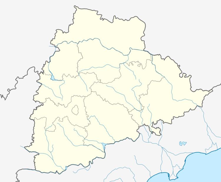
District Karimnagar PIN 505529 Elevation 264 m Population 9,274 (2001) | Time zone IST (UTC+5:30) Telephone code 918724 Local time Thursday 4:18 AM Area code 918724 | |
 | ||
Weather 24°C, Wind SW at 3 km/h, 45% Humidity | ||
Sahasra linga temple polasa
POLASA is One of the Major villages near Jagtial in Karimnagar District of Telangana State, India.
Contents
- Sahasra linga temple polasa
- Map of Polasa Telangana 505529
- Name
- Geography
- Demographics of Polasa
- By Road
- By Rail
- References
Map of Polasa, Telangana 505529
Prof. Jayashankar Agricultural University has established a Research Station at Polasa in 1980, as part of Agro Climatic Zonal Planning.(Agriculture Research Station).
Name
While there is popular myth that this village derives its name from the local deity poulasteshwara swami (by the name of Kakathiya King Prola who defeated the Chalukya King Gunda of Karimnagar around 1000AD). There is a Dravidian root *pola which denotes a town or city and also farm.
The Poulasteshwar temple is very famous in the Jagtial division, which is built by Kakathiayas. Now it is known as "Shivalayam" or "Pedda Gudi". This temple is located near to the NH-16, surrounded by agriculture fields, is a good place of worship as well as good visiting place.
Apart from Poulasteshwara temple we can find other ancient temples like venugopalaswami temple,anjaneya swami temple which was built during reign of rashtrakutas. The Thousand Shiv Linga's Temple Located near NH-16 in 2015.
Some of the bouddha & jaina sculptures shows that this village has roots in buddhism & jainism as well.
"Polasa" is famous for the agricultural research station ( Prof. Jayashankar Agricultural Research Station).
It is a Major Grampanchayath in Jagtial Mandal.
"Polasa" is also famous for celebrating "Mohurram" festival.
Zilla parishath High School is One of the oldest Schools in Karimnagar Dist. and It is Well known as PeddaBadi.
Geography
Polasa is located at 18.9°N 79.03°E / 18.9; 79.03. It has an average elevation of 264 metres (866 feet).
The communal tolerance is very high in Polasa and the perfect example is "Mohurram". all the people (from all communities) participate with great enthusiasm.one would love to watch "Tiger Play(Pedda Puli Fest)". In fact, this is biggest event in the village apart from dussera.nowhere we can find this type of event except in polasa.
Polasa is a Village in Jagtial Mandal in Karimnagar District of Telangana State, India. It belongs to Telangana region . It is located 56 km towards North from District headquarters Karimnagar. 7 km from mandal Jagtial.
Near by villages are Gopalraopet(3 km),Anantharam(3 km),Gullapet(4 km), Laxmipur(4 km),Thimmapur(3 km) to Polasa. Polasa is surrounded by Sarangapur Mandal towards North, Gollapalli Mandal towards East, Mallial Mandal towards South, Medipalli Mandal towards west .
Jagtial, Korutla, Karimnagar, Mancherial are the nearby Cities to Polasa.
Demographics of Polasa
Telugu is the Local Language here. Total population of Polasa is 9274 .Males 4823 are and Females are 4451 living in 1072 Houses.
Total area of Polasa is 1482 hectares.
By Road
Jagtial is the Nearest Town to Polasa. Jagtial is 7 km from Polasa. Road connectivity is there from Jagtial to Polasa. TSRTC serving Buses from nearby Villages.
By Rail
Jagitial Lingampet Rail Way Station,Mallial Nukapalli Rail Way Station are the railway Stations near to Jagtial.
