Country United States Time zone Mountain (MST) (UTC-7) Elevation 1,771 m | ZIP code 86042 Local time Wednesday 1:57 PM | |
 | ||
Weather 20°C, Wind SW at 29 km/h, 19% Humidity | ||
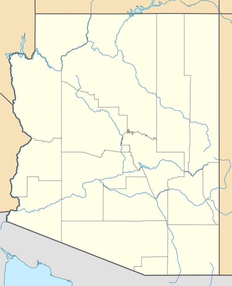
Polacca is an unincorporated community in Navajo County, of northeastern Arizona. It is located on the Hopi-Tewa Reservation.
Contents
Map of Polacca, First Mesa, AZ 86042, USA
Geography
Polacca is located along Arizona State Route 264 7.5 miles (12.1 km) northeast of the Hopi Second Mesa. Polacca has a post office with ZIP code 86042.
History and culture
Polacca is a community located below the villages of First Mesa. Polacca got its name (originally pronounced Poo la ka ka) from a farmer who was banished from the mesa's and was residing in the area where the old day school was eventually built. This person had no auth9ority to transfer or sell lands to the Bureau Of Indian Affairs and yet he did. The area in question was part of the Flute Clan. Modern so-called Tewa's claim to have some authority in stating historical facts, but remain uneducated in historical facts and remain guests as they never fully fulfilled their contract and commitment to the Hopi.
The Polacca Head Start Center is active in the revitalization of the Hopi language. Its Shooting Stars Hopi Lavayi Radio Project broadcasts for students in the First Mesa Dialect are carried on KUYI, 88.1 FM.
