
Country India Local time Thursday 1:12 AM | Time zone IST (UTC+5:30) | |
 | ||
Telephone code 06223postal_code = 843106 Weather 22°C, Wind E at 6 km/h, 70% Humidity | ||
Pokharaira is a village in Muzaffarpur, Muzaffarpur, in the Indian state of Bihar.
Contents
- Map of Pokhraira Bihar
- Population
- Climate
- Crops
- Utilities
- Places of interest
- Transport
- Education
- Health Centre
- References
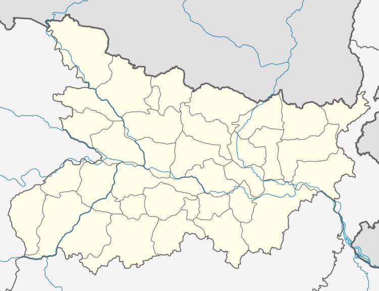
Map of Pokhraira, Bihar
Population
In 2001 the population was 10,865. It is estimated that 97% are Hindu and 3% Muslim. The literacy rate is 64%, including 38.94% female and 66.51% male.
Climate
The climate is semi-tropical monsoon. The months of May–June are hot and December–January are cold.
Crops
The village has many Litchi and Mango plantations.
Utilities
Electricity and potable water are available from private firms and mostly hand pumps.
Places of interest
Visitors explore Narsingh Sthan and the Kanu temple of Palwaiya Dham and mine bloock
Transport
There is no public transportation.
Education
The state operates a Teacher Training School.
The government operates RPS Government 10+2 School, 3 primary schools and 2 middle schools.
Health Centre
A primary health Center and hospital are there.