
Country United States GNIS feature ID 453753 Local time Wednesday 12:13 PM | FIPS code 18-60858 Elevation 113 m Population 497 (2000) | |
 | ||
Weather 8°C, Wind NE at 21 km/h, 37% Humidity Area 142.6 km² (127.4 km² Land / 15.2 km² Water) | ||
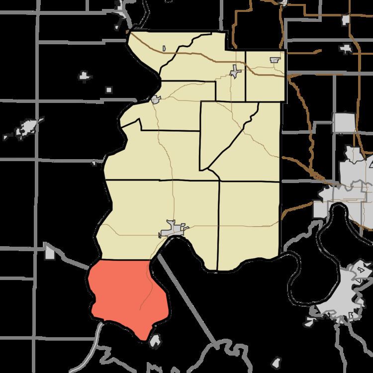
Point Township is one of ten townships in Posey County, Indiana. As of the 2000 census, its population was 497. The lowest, the southernmost, and the westernmost points in Indiana are all located along the township's boundaries.
Contents
- Map of Point Township IN 47620 USA
- History
- Adjacent Townships
- Unincorporated Places
- Archaeology
- References
Map of Point Township, IN 47620, USA
History
Point Township was organized in 1822. The township was so named for the fact the southernmost point in the county and state is contained within its borders.
The Ashworth Archaeological Site, Hovey Lake Archaeological District, and Murphy Archeological Site are listed on the National Register of Historic Places.
Adjacent Townships
Unincorporated Places
Archaeology
Point Township is the location of many significant archaeological sites. Among the leading ones are Ashworth in the township's northeast, Bone Bank along the Wabash River in the west, and Murphy, Hovey Lake-Klein, and Welborn in the south central.