
Country United States GNIS feature ID 453112 Local time Friday 6:30 AM | FIPS code 18-05428 Elevation 128 m Population 10,288 (2000) | |
 | ||
Weather -2°C, Wind NW at 10 km/h, 86% Humidity Area 230.4 km² (225.4 km² Land / 4.947 km² Water) | ||
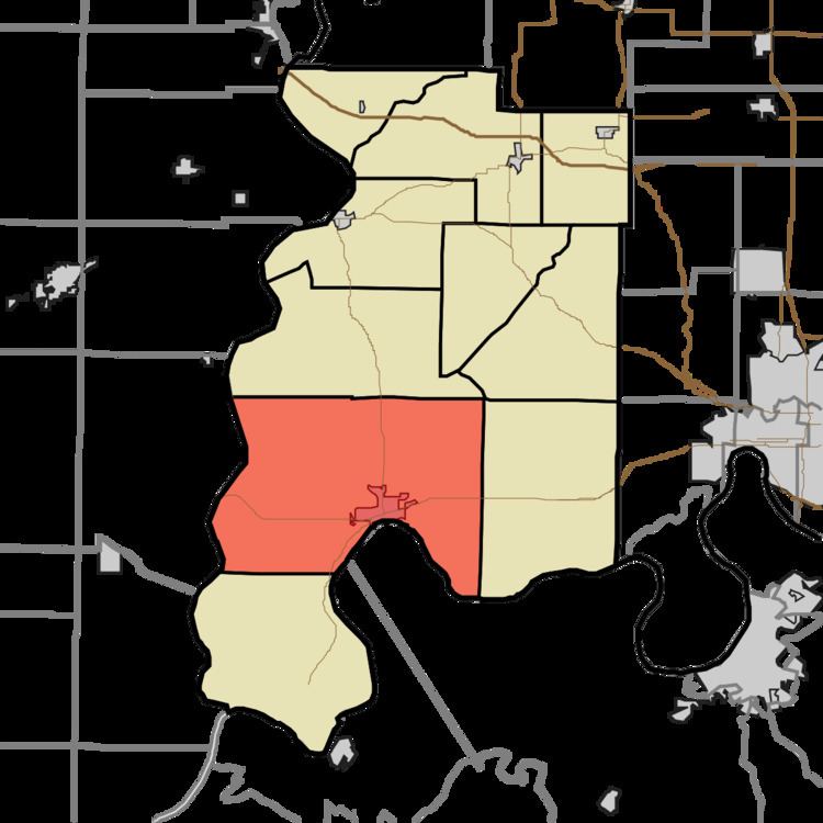
Black Township is one of ten townships in Posey County, Indiana. As of the 2000 census, its population was 10,288. The township is the largest both in terms of area a population in Posey County.
Contents
Map of Black Township, IN 47620, USA
History
Black Township was organized in 1817. The township was named for the Black family of pioneer settlers.
The Frederick and Augusta Hagemann Farm, Mann Site, and Mount Vernon Site are listed on the National Register of Historic Places.
Adjacent Townships
Cities
Unincorporated places
References
Black Township, Posey County, Indiana Wikipedia(Text) CC BY-SA