
Population 322 (2006 census) Postal code 5380 | Postcode(s) 5380 Local time Thursday 3:22 AM | |
 | ||
Weather 17°C, Wind S at 16 km/h, 78% Humidity | ||
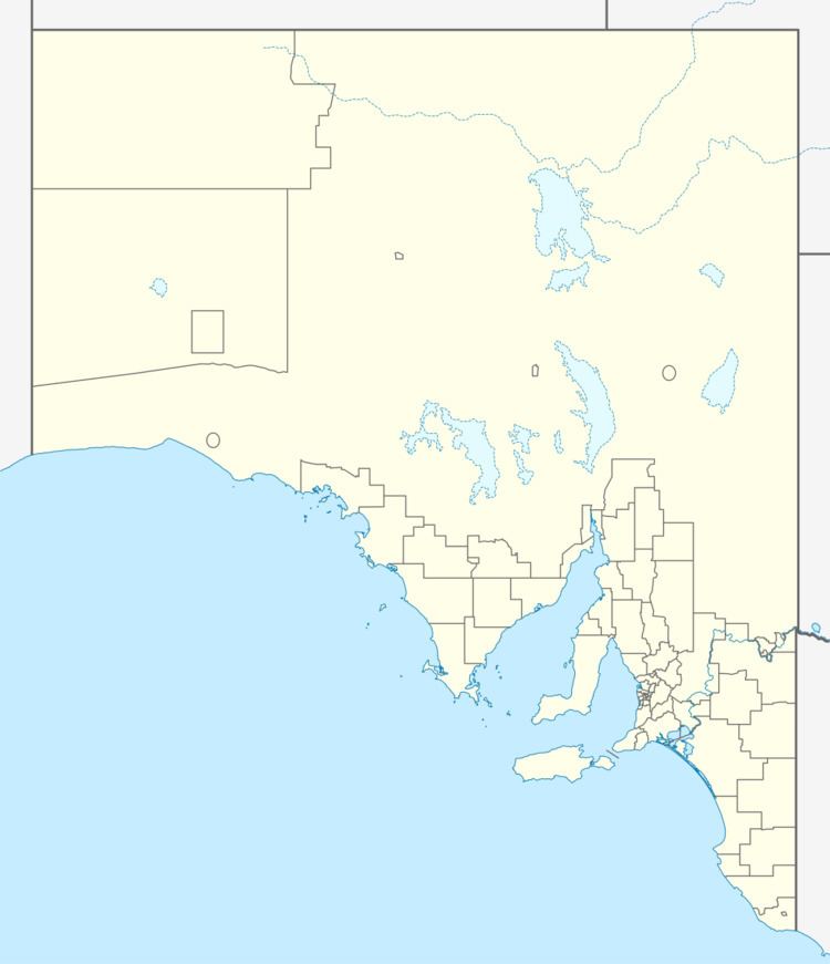
Point Pass is a small town in the Mid North of South Australia, 120 kilometres North of Adelaide which is the capital city of South Australia. The town is located 11 kilometres (6.8 mi) north of Eudunda, in the Regional Council of Goyder. At the 2006 census, Robertstown and the surrounding area had a population of 322.
Map of Point Pass SA 5374, Australia
The area was originally the territory of the Ngadjuri people.
Point Pass is no longer the thriving town that it used to be, it still has an active hotel and Lutheran church. The Lutheran church is now part of the "Eudunda Robertstown Lutheran Parish", which includes Lutheran churches at Robertstown, Point Pass, Geranium Plains, Eudunda, Neales Flat and Peep Hill.
Point Pass is on the Worlds End Highway, and was previously a stop on the Robertstown-Eudunda railway line which opened in 1914.