
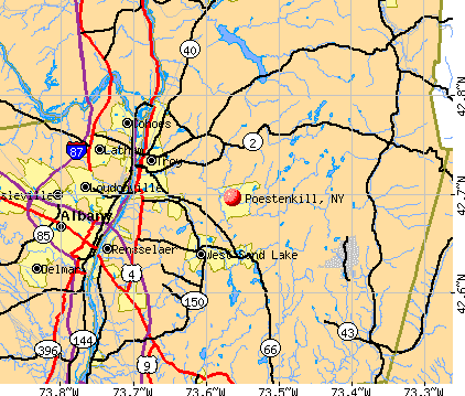
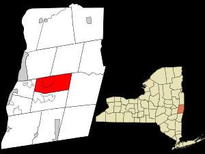
Country United States County Rensselaer Incorporated 1848 Elevation 283 m Population 4,530 (2010) | State New York Settled 1770 Time zone Eastern (EST) (UTC-5) Zip code 12140 Area code 518 | |
 | ||
Weather -7°C, Wind NW at 32 km/h, 51% Humidity Area 84.43 km² (84.17 km² Land / 26 ha Water) | ||
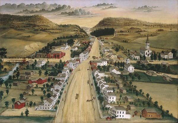
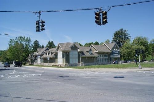
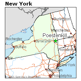
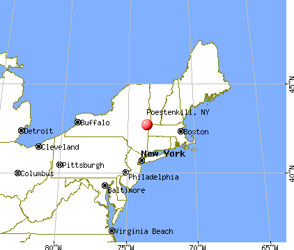
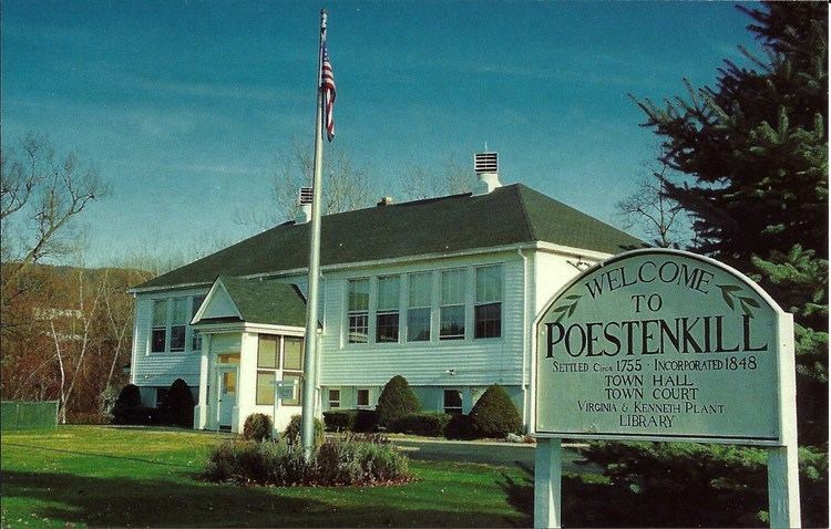
Poestenkill is a town in Rensselaer County, New York, United States. The population was 4,530 at the 2010 census. The town is named after the Poesten Kill, an important stream in the area. The words poesten kil (with only one l) are traditionally supposed to signify "foaming water" or "foaming creek" in Dutch. While kil indeed means "water" or "creek" in Dutch, Dutch dictionaries do not support the claim of poest as "foam". It seems more likely that the creek was named after the nickname Poest for the 17th-century local farmer and miller Jan Barentsen Wemp, who had a pimple (poest) or had difficulty breathing (poesten = to breathe); he owned a farm and a mill on the Poestenkil creek. Among the earliest settlers in the town was Archelaus Lynd. He leased 300 acres of land from the Van Rensselaers and made his first clearing in the area of Hillside Cemetery, which was known as The Lynd Cemetery until about 1900. The Whyland and Ives families were other early settlers. The town is southeast of Troy and is centrally located in the county.
Contents
History
The area was first settled around 1770, and the town of Poestenkill was created from part of the Town of Sand Lake on March 2, 1848.
When the American Revolutionary War broke out, six men served from the area. One, named Benjamin Cotterel, is said to have carried the first wheelbarrow of earth to Bunker Hill.
The first school in the area was established in or soon after 1788 on land set aside for that purpose by Stephen Van Rensselaer III. Five men from Poestenkill served in the War of 1812, all joining the Eddy expedition.
The first regular church in Poestenkill was the First Baptist church, organized in 1814 and located in East Poestenkill.
During the American Civil War, many of Poestenkill's men served with the Union's forces; twelve who died in action were Daniel M. Horton, Philip Amidon, Daniel Morrison, John Wagoner, George Bradt, Dexter Randall, William H. H. Wood, Martin Larabee, Willard Bailey, W. L. Robbins, George Simmons, and William H. Mason.
Future president James A. Garfield considered a job as high school principal in Poestenkill in 1856, though lost it to another applicant.
Poestenkill celebrated its sesquicentennial (150th anniversary) in 1998, with several events including a Revolutionary War reenactment, antique car show, a parade, and a historical display. A postcard was also produced for the town at the time.
Geography
According to the United States Census Bureau, the town has a total area of 32.6 square miles (84.4 km²), of which, 32.5 square miles (84.0 km²) of it is land and 0.1 square miles (0.4 km²) of it (0.43%) is water.
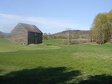
The eastern and central portions of the town are part of the Rensselaer Plateau.
The town is serviced in part by Brunswick (Brittonkill) Central School District and by Averill Park Central School District.
Demographics
As of the census of 2000, there were 4,054 people, 1,527 households, and 1,137 families residing in the town. The population density was 124.9 people per square mile (48.2/km²). There were 1,628 housing units at an average density of 50.2 per square mile (19.4/km²). The racial makeup of the town was 98.35% White, 0.17% Blacks and or African American, 0.30% Native American, 0.35% Asian, 0.27% from other races, and 0.57% from two or more races. Latino or Latino of any race were 0.67% of the population.
There were 1,527 households out of which 36.4% had children under the age of 18 living with them, 61.6% were married couples living together, 9.0% had a female householder with no husband present, and 25.5% were non-families. 20.0% of all households were made up of individuals and 7.6% had someone living alone who was 65 years of age or older. The average household size was 2.64 and the average family size was 3.07.
In the town, the population was spread out with 26.9% under the age of 18, 6.0% from 18 to 24, 30.6% from 25 to 44, 25.7% from 45 to 64, and 10.8% who were 65 years of age or older. The median age was 38 years. For every 100 females there were 104.1 males. For every 100 females age 18 and over, there were 100.2 males.
The median income for a household in the town was $58,945, and the median income for a family was $63,819. Males had a median income of $40,128 versus $29,486 for females. The per capita income for the town was $22,143. About 0.5% of families and 1.7% of the population were below the poverty line, including 1.0% of those under age 18 and 3.0% of those age 65 or over.