
Elevation 3,005 ft (916 m) Area 170 km² | Department Chimaltenango Time zone Central Time (UTC+6) | |
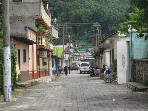 | ||
Pochuta is a municipality in the Chimaltenango department of Guatemala.
Contents
Map of Pochuta, Guatemala
History and general information
The town was known as "San Miguel Pochuta" during the Spanish colony and was elevated to a municipality in 1921. It has an area of 170 km² and its municipal capital sits at 916 m above sea level. The main religious snnual celebrations are in September, after Michael Archangel.
Name origin
Pochuta comes from the nahuatl Pochotl or Pochotla, which means «Place of ceibas».
Geographic location
Pochuta is surrounded by Chimaltenango Department municipalities except on the west, where it borders San Lucas Tolimán, a Sololá Department municipality:
References
Pochuta Wikipedia(Text) CC BY-SA