
Municipalities 5 Population 40,707 (Dec 2015) | Time zone CET (UTC+1) Area 266.8 km² | |
 | ||
Colleges and Universities Chur University of Applied Sciences, Theologische Hochschule Chur Points of interest Bernina Express, Bergbahnen Chur (Brambrüesch), Parpaner Rothorn, Aroser Weisshorn, Rodelbahn Pradaschier Destinations | ||
Plessur District (German: 'Bezirk Plessur', Romansh: District da la Plessur ) is a former administrative district in the canton of Graubünden, Switzerland. It had an area of 266.73 km2 (102.99 sq mi) and has a population of 40,707 in 2015. The former district is named after the river Plessur which crosses it. However, the region along the Plessur –and therefore the whole valley–is called Schanfigg. It was replaced with the Plessur Region on 1 January 2017 as part of a reorganization of the Canton.
Contents
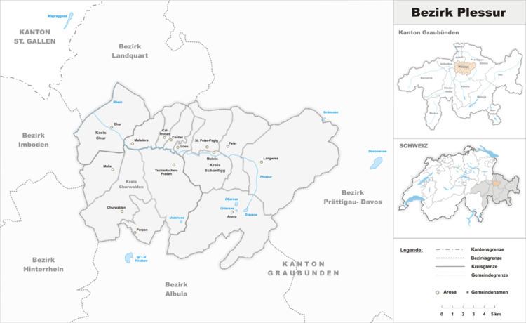
Map of Plessur District, Switzerland
Plessur District consisted of three Kreise (sub-districts) Chur, Churwalden and Schanfigg, which are formed from a total of twelve municipalities:
Mergers
References
Plessur District Wikipedia(Text) CC BY-SA