
Surface area 1,332 acres (539 ha) Area 5.39 km² | Primary outflows Mill Brook Max. length 3.8 mi (6.1 km) Max depth 19 m Surface elevation 130 m | |
 | ||
Water volume 40,125 acre·ft (49,493,000 m) | ||
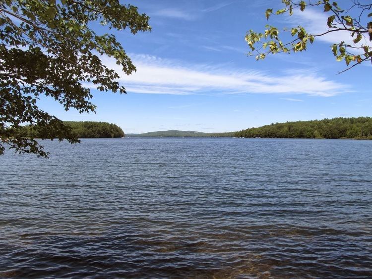
Pleasant Lake extends through southern Otisfield into northern Casco, Maine. The lake shoreline is heavily developed with residences and seasonal cabins. The southern end of the lake overflows as Mill Brook through the village of Casco, and reaches the Crooked River 3 miles (4.8 km) to the southwest. The lake supports a thriving population of white perch with some smallmouth bass and chain pickerel; and has been stocked with brown trout, lake trout, and land-locked Atlantic salmon. A boat launch area is available at the southern end of the lake.
Map of Pleasant Lake, Maine, USA
Seeds of Peace, an international conflict resolution summer camp, is based on Pleasant Lake.
References
Pleasant Lake (Crooked River) Wikipedia(Text) CC BY-SA