
OS grid reference SU7476 Post town Reading Local time Tuesday 6:59 PM Civil parish Eye and Dunsden | Sovereign state United Kingdom Postcode district RG4 Dialling code 0118 | |
 | ||
Weather 7°C, Wind S at 16 km/h, 66% Humidity | ||
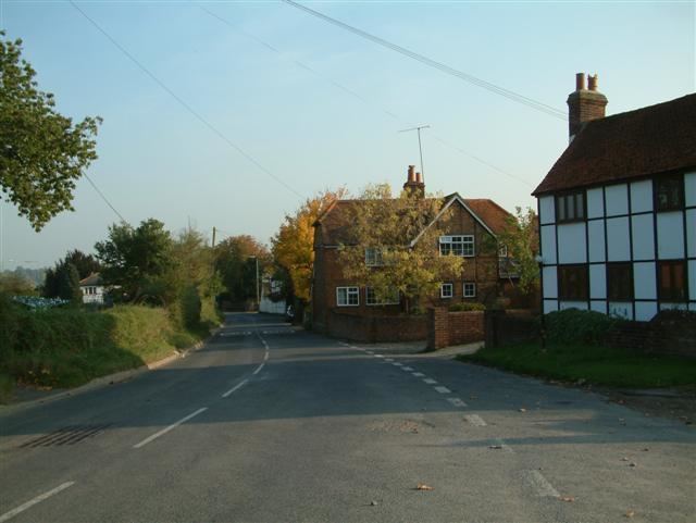
Playhatch (or Play Hatch) is a hamlet in the civil parish of Eye & Dunsden in South Oxfordshire, England, about 2 miles (3.2 km) northeast of Reading, Berkshire.
Contents
Map of Play Hatch, Reading, UK
Overview
Before 1866, Playhatch formed part of the Oxfordshire section of Sonning civil parish.
Berry Brook starts close to the Redgrave-Pinsent Rowing Lake to the southwest, running northeast through the River Thames floodplain past Playhatch, under the B478 Playhatch Road near the Sonning Works, before joining the river at Hallsmead Ait.
Amenities
The hamlet has three public houses:
Just south of the hamlet is the Redgrave-Pinsent Rowing Lake.
References
Playhatch Wikipedia(Text) CC BY-SA