
ZIP code 05667 Elevation 230 m Population 401 (2010) | Time zone Eastern (EST) (UTC-5) Area code(s) 802 Area 60 ha | |
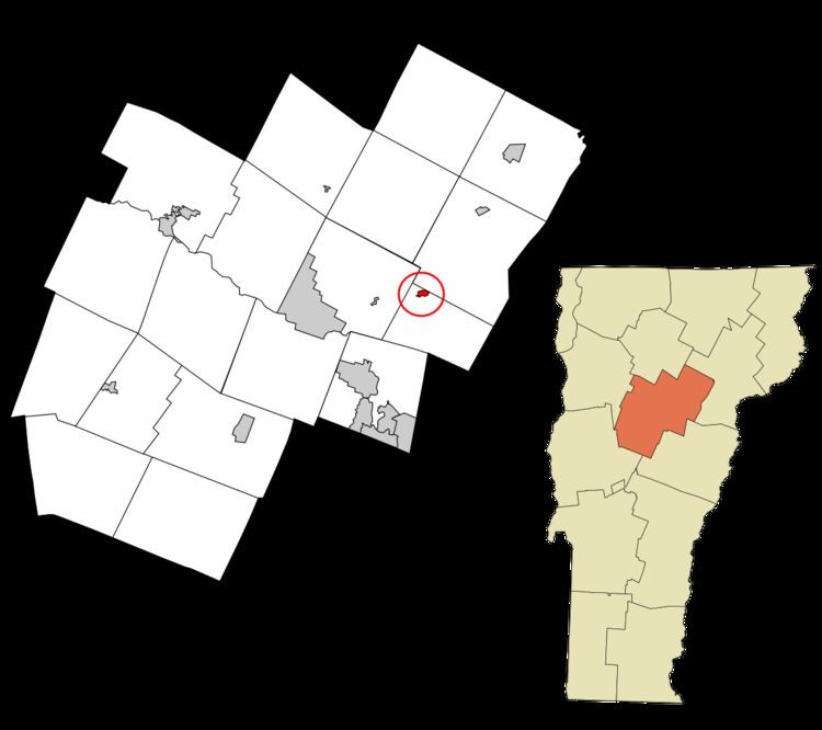 | ||
Plainfield is a census-designated place (CDP) comprising the main village of the town of Plainfield, Washington County, Vermont, United States. The population of the CDP was 401 at the 2010 census.
Geography
According to the United States Census Bureau, the Plainfield CDP has a total area of 0.23 square miles (0.60 km2), of which 0.23 square miles (0.59 km2) is land and 0.004 square miles (0.01 km2), or 2.18%, is water. The village is located in the northern corner of the town of Plainfield along U.S. Route 2, 10 miles (16 km) east of Montpelier, the state capital, and 28 miles (45 km) west of St. Johnsbury. Goddard College is located just to the west of the CDP.
Plainfield is located on the Winooski River.
References
Plainfield (CDP), Vermont Wikipedia(Text) CC BY-SA