
 | ||
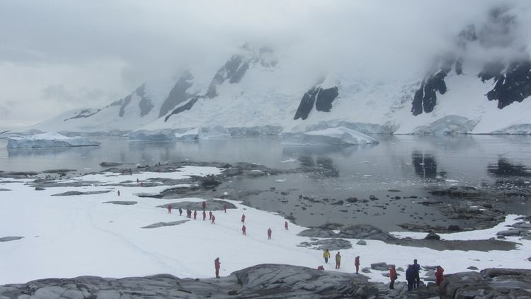
Pléneau Island (65°6′S 64°3′W) is an island, 0.8 nautical miles (1.5 km) long, lying just northeast of Hovgaard Island in the Wilhelm Archipelago. Charted as a peninsula of Hovgaard Island by the French Antarctic Expedition, 1903–05, under J.B. Charcot, who named its northeast point for Paul Pléneau, photographer of the expedition. The feature was first shown to be an island on an Argentine government chart of 1957.
Map of Pleneau Island, Antarctica
References
Pléneau Island Wikipedia(Text) CC BY-SA