
Area 50.51 km² | ||
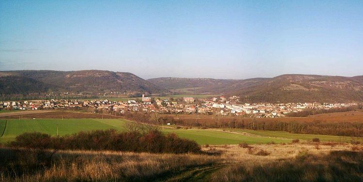 | ||
Plášťovce (Hungarian: Palást) is a village and municipality in the Levice District in the Nitra Region of Slovakia.
Contents
- Map of 935 82 PlC3A1C5A1C5A5ovce Slovakia
- History
- Geography
- Ethnicity
- Facilities
- Places of interes
- Twin towns Sister cities
- References
Map of 935 82 Pl%C3%A1%C5%A1%C5%A5ovce, Slovakia
History
In historical records the village was first mentioned in 1156.
Geography
The village lies at altitude of 155 metres and covers an area of 50,509 km². It has a population of about 1720 people.
Ethnicity
The village is approximately 30% Slovak and 70% Magyar.
Facilities
The village has a public library a gym and football pitch.
Places of interes
Twin towns — Sister cities
References
Plášťovce Wikipedia(Text) CC BY-SA