
ISO 3166 code RS-22 - Cities and towns 4 Municipalities 4 | Settlements 214 Area 2,761 km² | |
 | ||
Points of interest Balkan Mountains, Poganovo Monastery, Midžor, Monastère de Temska, Monastère de Sukovo Destinations | ||
Conservation study of the village gostu a in pirot district serbia
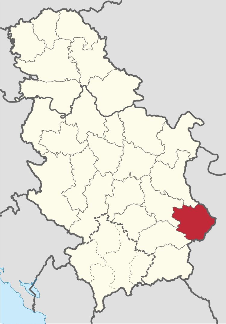
The Pirot District (Serbian: Пиротски Oкруг, Pirotski Okrug, [pǐroːtskiː ôkruːɡ]) is one of nine administrative districts of Southern and Eastern Serbia. It expands to the south-eastern parts of Serbia. According to the 2011 census results, it has a population of 92,277 inhabitants. The administrative center is the city of Pirot.
Contents
- Conservation study of the village gostu a in pirot district serbia
- Map of Pirot District Serbia
- Municipalities
- Demographics
- Ethnic groups
- History and culture
- Features
- Economy
- References
Map of Pirot District, Serbia
Municipalities
It encompasses the municipalities of:
Demographics
According to the 2011 census results, Pirot District has a population of 92,479 inhabitants.
Ethnic groups
History and culture
The first mention of Pirot are found already in the second century A.D. In its vicinity is the church from the thirteenth century: the Church of St. Petka, and the monastery of St. John the Theologist from the late fourteenth century displays a fine example of the Serb medieval architecture.
Features
Medicinal water from the Zvonci Spa (Zvonačka Banja), a health resort, was used already in the ancient times, and natural beauties of this region are renounced throughout Serbia. The oldest craft, today an industry, is Rug-making: the weaving trade, by which this region has gained its world-wide fame.
Economy
The most of the facilities of the Pirot economic organizations are located in the industrial zone: the "Tigar" rubber industry, the "Prvi maj" textile industry, and the "Suko" paints and varnishes industry.