
Time zone BST (UTC+6) | Postal code 8500 | |
 | ||
Pirojpur (Bengali: পিরোজপুর) is a district (zila) in south-western Bangladesh. It is part of Barisal Division.
Contents
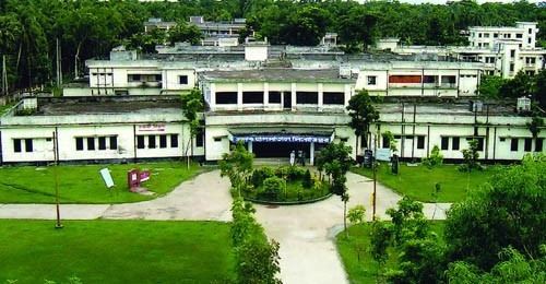
- Map of Pirojpur Pourashava Bangladesh
- Name
- Demographics
- Geography
- Borderd By
- Administration
- Pirojpur at a Glance
- Rivers
- Buses
- River port
- Religion
- Agro Products
- Tourist Attractions in Pirojpur District
- Media
- Sports
- Notable people
- References
Map of Pirojpur Pourashava, Bangladesh
Name
According to myth, the second son of Shah Shuja, Firoz Shah, died in this area, and the area became known subsequently as 'Firozpur'. In time, the pronunciation 'Firozpur' slowly muted to 'Pirozpur'.
Demographics
Pirojpur District had a population of 1,113,257 at the 2011 Census (provisional).
Geography
Most of the land is low-lying and the soil is fertile. There are small forests.
Nesarabad is known for its business centre and also for the Sundori tree (a kind of mangrove) that grows there.
Launches, steamers and boats are used for travelling on the rivers. The local port is called Hoolarhaat Launch Station (ghaat). Buses, autorickshaws and rickshaws are also used for transport.puraton bus station is on of the most popular place of this district.
Borderd By
Pirojpur District is bordered by Barisal and Gopalganj districts to the north, Barguna district to the south, Jhalokati and Barguna districts to the east, Bagerhat district and the Sundarban, the largest mangrove forest to the west.
Administration
The subdivision (then, a mohokooma, now a zila) of Pirojpur was created in 1866. Pirojpur district was formed in 1984 and the Municipality was formed in 1886. The area of Pirojpur is 1399.39 km2. It is under Barisal Division. There are 4 Municipalities in Pirojpur named Pirozpur, Bhandaria, Nesarabad and Mathbaria. The number of Upazilas (sub districts) in Pirojpur district is 7, named- Pirojpur Sadar, Bhandaria, Mathbaria, Zianagor, Nazirpur, Sharupkathi and Kaukhali. Of the seven upazilas of the district Mathbaria is the largest (353.25 km2, it occupies 27.01% of the total area of the district) and Kawkhali is the smallest (79.65 km2). It also containing 51 Unions, 390 Mauzas and 648 Villages.
Pirojpur at a Glance
Pirojpur district is divided into seven upazilas :
Rivers
Gabkhan, Baleshwar, Damodar, Kocha, Pona, Kochakhali, Kaliganga, Sandha.
The Baleshwar, the river that situated to the east of Sunder Bans splits into two parts. One is known as Doratana which flows through Bagerhat and the other and mighty one is known as Kacha which flows through Bhandaria. Then it has an offshoot Baleshwar which later meets with Doratana and falls into Kaliganga near Mativanga, Najirpur. And Kocha splits into two river Kaliganga and Sandha. Kaliganga flows to the north meets with Baleshwar and flow to further north. and Sandha flows to the east.
Buses
There are two bus terminals in Pirojpur, Pirojpur Bus terminal and Pirojpur Old Bus Terminal. Many Bus company connect Pirojpur to other districts.
River port
Hular Hat is the river port of Pirojpur. It is situated some 5 km east to the Pirojpur town and the river port stands on Kaligana. Beside it is the steamer wharf. Launches destined to Dhaka an other parts of the country starts from here regularly
Religion
There are 3,934 mosques, 15 temples and two churches in the district of Pirojpur.
Agro Products
Paddy, jute, sugar cane, wheat, guava, banana, coconut, hog-plum, betel leaf, betel nuts.
Tourist Attractions in Pirojpur District
Media
Print media:
Telecommunications:
Satellite Television:
Sports
Cricket and football are the two most popular sports in Pirojpur while kabaddi is also popular.