
Time zone BST (UTC+6) | Capital Nazirpur Area 233.6 km² | |
 | ||
Website Official Map of the Nazirpur Upazila | ||
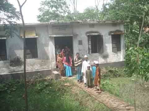
Nazirpur (Bengali: নাজিরপুর ) is an Upazila of Pirojpur District in the Division of Barisal, Bangladesh.
Contents
Map of Nazirpur Upazila, Bangladesh
Geography
Nazirpur is located at 22.7461°N 89.9678°E / 22.7461; 89.9678 . It has 31,862 households and a total area of 233.65 km².
Demographics
According to the 1991 Bangladesh census, Nazirpur had a population of 166014. Males constituted 50.92% of the population, and females 49.08%. The population aged 18 or over was 86,581. Nazirpur had an average literacy rate of 43.4% (7+ years), compared to the national average of 32.4%.
Administration
Nazirpur has 8 Unions/Wards, 69 Mauzas/Mahallas, and 142 villages.
Education
In the union council of Malikhali, next to the village of Baithakata, there are the Baithakata College and the Mugarjhor High School.
Bangamata Fazilatunnisa Girls College AM Ideal Grammar School Qawmi Madrasha (Arabic School)