
Time zone UTC -3 Dial plan +598 4448 (+4 digits) Population 713 (2011) | Postal code 30002 Founded 1895 Local time Monday 10:33 AM | |
 | ||
Weather 21°C, Wind E at 14 km/h, 72% Humidity | ||
Pirarajá is a village in the Lavalleja Department of southeastern Uruguay.
Contents
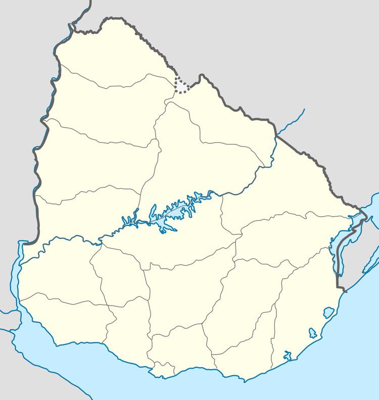
Map of Piraraj%C3%A1, Lavalleja Department, Uruguay
Location
It is located on Route 8 and on its junction with Route 58, about 34 kilometres (21 mi) north of Mariscala and 95 kilometres (59 mi) northeast of Minas.
History
Its status was elevated to "Pueblo" (village) on 22 December 1906 by decree Ley Nº 3.136.
Population
In 2011 Pirarajá had a population of 713.
Source: Instituto Nacional de Estadística de Uruguay
References
Pirarajá Wikipedia(Text) CC BY-SA