
Time zone CET (UTC+1) Area 27.4 km² Local time Monday 7:39 AM | Elevation 399 m Population 5,421 (1 Apr 2009) Postal code 7423 | |
 | ||
Website www.pinkafeld-online.at Weather 8°C, Wind SE at 2 km/h, 86% Humidity | ||
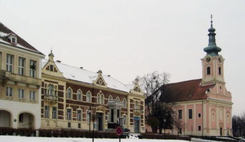
Pinkafeld (Hungarian: Pinkafő, Croatian: Pinkafelj, Slovene: Pinkafel, Romani: Pinkafa) is a city in Burgenland in Austria and the second largest settlement (after Oberwart) in the district Oberwart.
Contents
Map of Pinkafeld, Austria
Geography
Parts of the commune are Hochart, Gfangen, Alt-Pinkafeld, Nord-Pinkafeld and Pinkafeld Stadt.
History
Politics
Mayor is Kurt Maczek of the SPÖ, the 1.Vize-Mayor is Thomas Pickl of the ÖVP. In the representation (25 mandates), the SPÖ has 16 mandates and the ÖVP 9.
Notale people from Pinkafeld
References
Pinkafeld Wikipedia(Text) CC BY-SA