
Population 664 (2011 census) Postal code 4069 | Postcode(s) 4069 | |
 | ||
LGA(s) City of Brisbane(Pullenvale Ward) | ||
Pinjarra Hills is an outer suburb of Brisbane, Australia. It is 15 kilometres (9.3 mi) west of the Brisbane central business district on the northern bank of the Brisbane River. At the 2011 Australian census the suburb had a population of 664.
Contents
Map of Pinjarra Hills QLD 4069, Australia
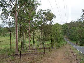
Pinjarra Hills is mainly rural, a large portion of land is owned by the University of Queensland.
Moggill Road is the main road route through the suburb.
Demographics
In the 2011 census the population of Pinjarra Hills was 664, 54.5% female and 45.5% male.
The median age of the Pinjarra Hills population was 55 years, 18 years above the Australian median.
68.1% of people living in Pinjarra Hills were born in Australia, compared to the national average of 69.8%; the next most common countries of birth were England 9%, South Africa 2.7%, New Zealand 2.1%, Malaysia 0.9%, Papua New Guinea 0.8%.
88.5% of people spoke only English at home; the next most common languages were 1.2% Cantonese, 0.9% Dutch, 0.5% German, 0.5% Swedish, 0.5% Danish.