
Time zone China Standard (UTC+8) Elevation 1,414 m | Postal code 661200 Area 1,905 km² Area code 0873 | |
 | ||
Country People's Republic of China Prefecture | ||
Pingbian Miao Autonomous County (simplified Chinese: 屏边苗族自治县; traditional Chinese: 屏邊苗族自治縣; pinyin: Píngbiān Miáozú Zìzhìxiàn) is a county located in Honghe Hani and Yi Autonomous Prefecture in the southeast of Yunnan province, People's Republic of China. Its seat is located only 21 kilometres (13 mi) from the border with Lào Cai Province, Vietnam.
Contents
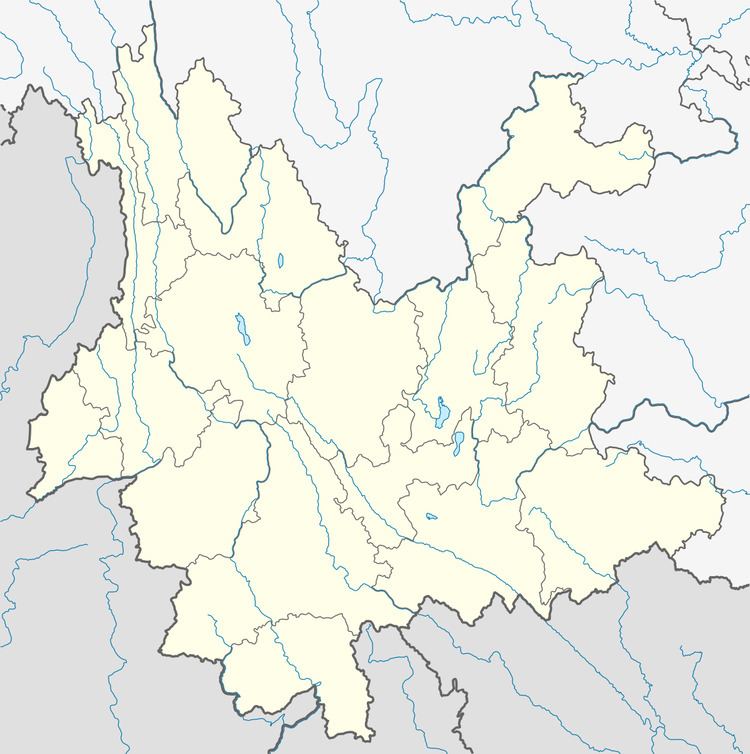
Map of Pingbian, Honghe, Yunnan, China
Climate
Pingbian County has a mild subtropical highland climate (Köppen Cwb) influenced by its elevation, with short, mild, dry winters and warm, humid summers. The monthly 24-hour average temperature ranges from 9.2 °C (48.6 °F) in January to 21.3 °C (70.3 °F) in July, and the annual mean is 16.3 °C (61.3 °F). The greatest rainfall tends to occur during the summer; spring is the sunniest season.
Note that extreme temperature data is combined from NOAA (1961−1990) and China Weather (1971−2000)Transportation
The narrow-gauge Kunming–Hai Phong Railway crosses Pingbian County. This railway's famous Faux Namti Bridge is located north of the county's Wantang Township (湾塘乡).