
Type euthrophic Max. length 9.4 km (5.8 mi) Surface area 40.7 km (15.7 sq mi) Mean depth 12 m Width 6.1 km | Basin countries Canada Max. width 6.1 km (3.8 mi) Area 40.7 km² Length 9.4 km Catchment area 285 km² | |
 | ||
Primary outflows | ||
How to fishing pinehurst lake spring walleye
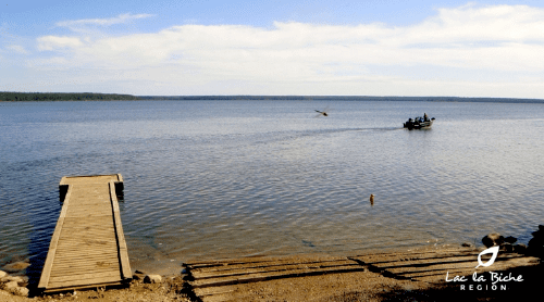
Pinehurst Lake is a lake in Northeastern Alberta. Located 245 kilometres (152 mi) northeast of Edmonton, in the Lakeland Provincial Recreation Area just east of the Lakeland Provincial Park, it is a popular destination for anglers and hunters alike.
Contents
- How to fishing pinehurst lake spring walleye
- Map of Pinehurst Lake Lakeland County AB Canada
- References
Map of Pinehurst Lake, Lakeland County, AB, Canada
Pinehurst Lake has a water surface of 40.7 km2 (15.7 sq mi), and drains by Punk Creek into the Sand River, a tributary in the Beaver River basin. The lake has a catchment area of 285 km2 (110 sq mi).
References
Pinehurst Lake Wikipedia(Text) CC BY-SA