
- location below Mount Magnus | - elevation 752 m (2,467 ft) - elevation 360 m (1,181 ft) | |
 | ||
Mouths | ||
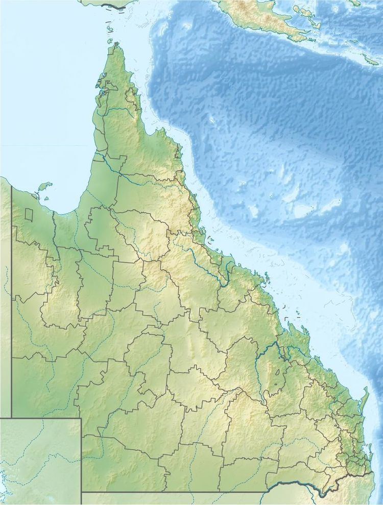
The Pike Creek, a perennial stream that is one of the Border Rivers and part of the Macintyre catchment within the Murray–Darling basin, is located in the Darling Downs region of Queensland, Australia
Map of Pike Creek, Queensland, Australia
Pike Creek rises on the western slopes of the Great Dividing Range below Mount Magnus, southwest of Warwick and northwest of Stanthorpe. The river flows generally west and then south, through the Glenlyon Dam and joined by nine minor tributaries before reaching its confluence with the Mole River to form the Dumaresq River. The creek descends 392 metres (1,286 ft) over its 117-kilometre (73 mi) course.
References
Pike Creek (Queensland) Wikipedia(Text) CC BY-SA