
Length 40 km (25 mi) Population Uninhabited | Width 11 km (6.8 mi) | |
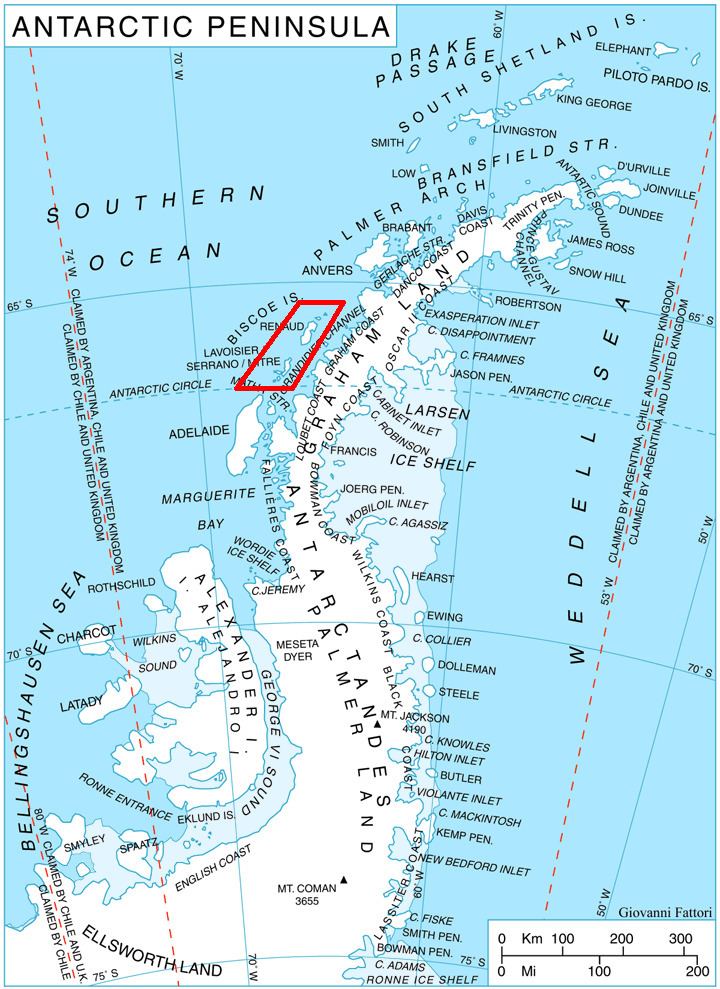 | ||
Renaud Island is an ice-covered island, 40 km (25 mi) long and from 6.4 to 16.1 km (4 to 10 mi) (average 11.3 km (7 mi)) wide, lying between the Pitt Islands and Rabot Island in the Biscoe Islands of Antarctica. It is separated from Pitt Islands to the northeast by Mraka Sound, and from Lavoisier Island to the southwest by Pendleton Strait. Zubov Bay is a 2.5 mile bay that indents the east side of the island.
Contents
Map of Renaud Island, Antarctica
Discovery
The island was first charted and named by the French Antarctic Expedition, 1908–10, under Jean-Baptiste Charcot.
References
Renaud Island Wikipedia(Text) CC BY-SA