
Country Thailand Amphoe established 1968 Postal code 42160 Population 21,182 (2009) Geocode 4207 | Seat Nong Bua Time zone ICT (UTC+7) Area 880 km² Province Loei Province | |
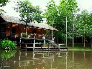 | ||
Points of interest Phu Ruea, Kitty Resort, Phu Luang Wildlife Sanctuary, Pla Ba Waterfall, Da Cho View Point | ||
Phu Ruea (Thai: ภูเรือ; [pʰūː rɯ̄a]) is a district (amphoe) in the western part of Loei Province, northeastern Thailand.
Contents
Map of Phu Ruea District, Loei, Thailand
History
The government split off some part of Tha Li, Mueang Loei, and Dan Sai Districts and made them into the minor district (king amphoe) Phu Ruea on 15 October 1968 and made it a subordinate of Dan Sai. It was upgraded to a full district on 1 April 1974.
Geography
The district is named after Phu Ruea, an important mountain in the area.
Neighboring districts are (from the northeast clockwise) Tha Li, Mueang Loei, Wang Saphung, Phu Luang of Loei Province, Lom Kao of Phetchabun Province, and Dan Sai of Loei again. To the northwest is Xaignabouli Province of Laos.
To the north of the district is the Phu Ruea National Park, to the south the Phu Luang Wildlife Sanctuary.
The northwestern part of the district reaches the southern end of the Luang Prabang Range mountain area of the Thai highlands.
Administration
The district is divided into six sub-districts (tambon), which are further subdivided into 47 villages (muban). Phu Ruea is a sub-district municipality (thesaban tambon) which covers parts of the tambon Nong Bua. There are further six tambon administrative organizations (TAO).