
Country Thailand Time zone ICT (UTC+7) Area 709 km² Province Loei Province | Seat Phu Kradueng Postal code 42180 Population 33,438 (2005) Geocode 4210 | |
 | ||
Phu Kradueng (Thai: ภูกระดึง; [pʰūː krādɯ̄ŋ]) is a district (amphoe) of Loei Province, northeastern Thailand.
Contents
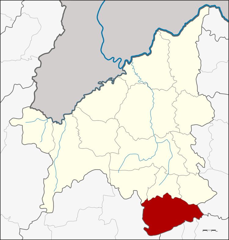
Map of Phu Kradueng District, Loei 42180, Thailand
Geography
Neighboring districts are (from the north clockwise) Phu Luang, Nong Hin, and Pha Kao of Loei Province, Si Bun Rueang of Nong Bua Lamphu Province, Si Chomphu, Chum Phae, and Phu Pha Man of Khon Kaen Province, and Nam Nao of Phetchabun Province.
Phu Kradueng mountain is in the district.
History
The minor district (king amphoe) was created on 1 January 1962, when the three tambon Si Than, Puan Phu, and Pha Khao were split off from Wang Saphung district. It was upgraded to a full district on 16 July 1963.
Administration
The district is divided into four sub-districts (tambon), which are further subdivided into 54 villages (muban). Phu Kradueng is a township (thesaban tambon) which covers parts of tambon Si Than, Pha Nok Khao, and Phu Kradueng. There are a further four tambon administrative organizations (TAO).
Missing numbers are tambons which now form the Districts Pha Khao and Nong Hin.