
Surface area 2,900 acres (1,200 ha) Surface elevation 297 m | Basin countries United States Area 11.65 km² Shore length 160.9 km | |
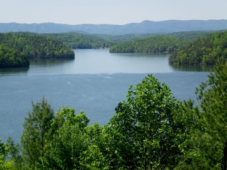 | ||
Kayak camping multi day trip philpott lake virginia
Philpott Lake is a reservoir in the U.S. state of Virginia. It is impounded by Philpott Dam.
Contents
- Kayak camping multi day trip philpott lake virginia
- Map of Philpott Lake Virginia USA
- Philpott lake recreational camping and fishing franklin co va
- References
Map of Philpott Lake, Virginia, USA
The lake is at an elevation of 974 feet (297 m), covers an area of 2,900 acres (12 km2), and has a shoreline length of 100 miles (160 km). Philpott Lake extends into Franklin, Henry, and Patrick counties, Virginia. It is bordered by 6,424 acres (26.00 km2) of U.S. Army Corps of Engineers-managed lands.
The lake and Philpott Dam were created to control flooding along the Smith River, to generate hydroelectric power, and to provide recreational activities. Construction on Philpott Dam began in 1948 and was completed in 1952.
Philpott lake recreational camping and fishing franklin co va
References
Philpott Lake Wikipedia(Text) CC BY-SA