
 | ||
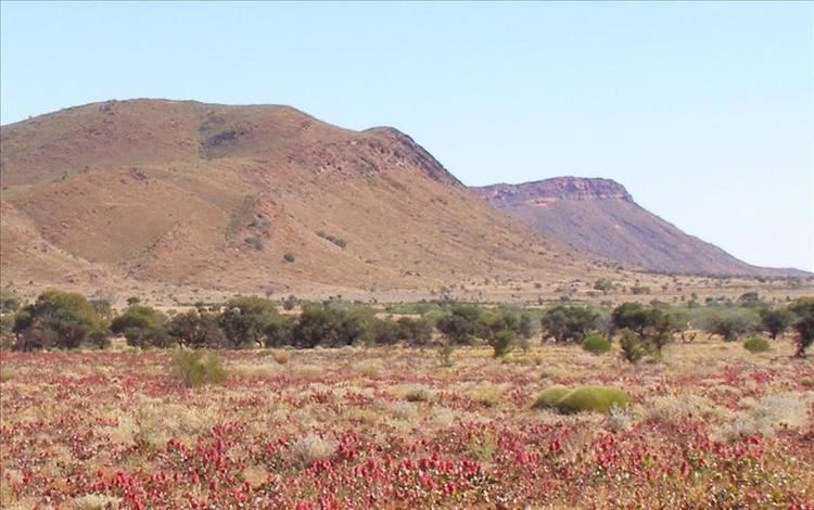
The Petermann Ranges are a mountain range in central Australia. They run 320 km (200 mi) across the border between Western Australia and the southwest corner of the Northern Territory.
Contents
Map of Petermann Ranges, Petermann NT 0872, Australia
Their highest point is 1,158 metres (3,799 ft) above sea level. The range was formed about 550 million years ago during the Petermann Orogeny. The existing geological research has broadly determined that the Petermann Ranges were equivalent in height to the Himalayas.
The Petermanns were named for the geographer August Heinrich Petermann by Ernest Giles, the first European explorer to visit the area, and are commonly associated with the Rawlinson Ranges, nearby to the west. The area was included in the Katiti-Petermann Indigenous Protected Area in 2012.
A lot of the shallow basement rock underneath central and western Australia has apparently come from the erosion of the Petermann Ranges, giving Australia its current shape—and no shallow interior sea.
In popular culture
There are only one or two geology oriented documentaries that trace Uluru and Kata Tjuta's origins with the Australian Petermann Ranges. The Time Traveller's Guide To Australia in 2012 produced by the ABC and essential media is possibly the first documentary to make the connection with reasonable clarity.