
Type artificial lake Max. depth 42 ft (13 m) Surface elevation 272 m | Basin countries United States Area 93.08 km² | |
 | ||
Surface area 23,000 acres (9,300 ha) | ||
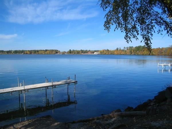
Lake Petenwell is a man-made lake in central Wisconsin, in Adams, Juneau, and Wood counties next to Castle Rock Lake. It covers over 23,000 acres (93 km2) and is 42 feet (13 m) deep. Lake Petenwell is Wisconsin's second largest lake at 23,040 acres (93.2 km2) or approximately 36 square miles (93 km2). It was created in 1948 by the Wisconsin River Power Company with the construction of a dam across the Wisconsin River near Necedah. It has a maximum depth of 42 feet (13 m) and is used for skiing, sailing and fishing. Private lakefront property is very limited as most of the virgin shoreline is undeveloped forest. Wildlife includes wintering bald eagles. Game fish include walleye, northern pike, bass, panfish, and muskellunge.
Contents
Map of Petenwell Lake, Wisconsin, USA
The area around the lake has restaurants, a community theater, a golf course and two casinos.
AlgaeEdit
Lake Petenwell has blue-green algae blooms in the summer, the toxicity of which is unknown. The algae, which exists naturally in most lakes, is magnified on Lake Petenwell as a result of industrial and agricultural sources upstream.