
County Clay FIPS code 18-59310 Elevation 192 m Local time Monday 2:04 PM | State Indiana GNIS feature ID 441045 Zip code 47837 | |
 | ||
Weather 15°C, Wind E at 11 km/h, 74% Humidity | ||
Perth is an unincorporated community in Dick Johnson Township, Clay County, Indiana. It is part of the Terre Haute Metropolitan Statistical Area.
Contents
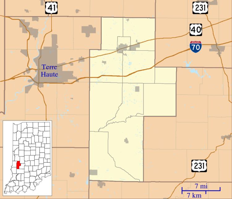
Map of Perth, IN 47837, USA
Geography
Perth is located at 39°35′35″N 87°09′43″W.
History
Perth had its start in the year 1870 by the building of the railroad through that territory. It was named after Perth, Scotland. A post office was established at Perth in 1880, and remained in operation until it was discontinued in 1929.
References
Perth, Indiana Wikipedia(Text) CC BY-SA