
Time zone CET/CEST (UTC+1/+2) Area 18.51 km² Population 389 (31 Dec 2008) Dialling code 06744 | Elevation 430 m (1,410 ft) Postal codes 55430 Local time Monday 3:51 PM Postal code 55430 Municipal assoc. Sankt Goar-Oberwesel | |
 | ||
Weather 16°C, Wind E at 16 km/h, 26% Humidity | ||
Perscheid is an Ortsgemeinde – a municipality belonging to a Verbandsgemeinde, a kind of collective municipality – in the Rhein-Hunsrück-Kreis (district) in Rhineland-Palatinate, Germany. It belongs to the Verbandsgemeinde of Sankt Goar-Oberwesel, whose seat is in the town of Oberwesel.
Contents
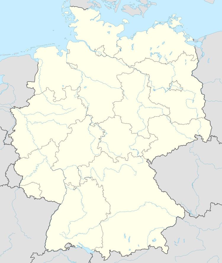
- Map of 55430 Perscheid Germany
- Location
- History
- Municipal council
- Mayor
- Coat of arms
- Buildings
- Conservation
- References
Map of 55430 Perscheid, Germany
Location
The municipality lies on the eastern edge of the Hunsrück on a mountain ridge between the Rhine Gorge and the Autobahn A 61, roughly 4 km southwest of Oberwesel. Perscheid is the southernmost municipality in the Verbandsgemeinde of Sankt Goar-Oberwesel.
History
Digs and gravesite finds around Perscheid show that there were settlers here in Hallstatt times (about 1500 to 1200 BC). Archaeological finds such as coins, foundations and fragments of temples from Roman times furthermore point to an occupation at that time. In 1248, Perscheid had its first documentary mention as Dorfschaft Perrischeit. Authority was exercised by the Electorate of Trier. Beginning in 1794, Perscheid lay under French rule. In 1815 it was assigned to the Kingdom of Prussia at the Congress of Vienna. Since 1946, it has been part of the then newly founded state of Rhineland-Palatinate.
Municipal council
The council is made up of 8 council members, who were elected by majority vote at the municipal election held on 7 June 2009, and the honorary mayor as chairman. .
Mayor
Perscheid’s mayor is Michael Jäckel. He became mayor on 14 November 2007 after Hugo Hübel had resigned the office on 20 May 2007 after 18½ years.
Coat of arms
The German blazon reads: In silbern über Rot gespaltenem Schilde vorn ein rotes Balkenkreuz, hinten eine ausgerichtete silberne vierendige Hirschstange.
The municipality’s arms might in English heraldic language be described thus: Per pale argent a cross gules and gules a stag’s sinister attire palewise of four points of the first.
The cross on the dexter (armsbearer’s right, viewer’s left) side is a reference to the village’s former allegiance to the Electorate of Trier. The “stag’s attire” refers to the wealth of woodlands and game found within the municipality’s limits.
The municipality’s flag colours are silver and red.
Buildings
The following are listed buildings or sites in Rhineland-Palatinate’s Directory of Cultural Monuments: